Paths Greenways Bridleways Tracks
PGBT

The National Bridleroute Network is made up from three types of route: the National Network, Regional Routes, and Community Circuits.
These are the main strategic routes across the country.
They will be the high profile routes like the Ridgeway,
the South Downs Way, and the Pennine Bridleway, as well
as newer routes like the London Orbital Bridleroute (H25).
They will be identified by a white route number on a red patch.
Example: H25 London Orbital Bridleroute, H4 The Ridgeway.
These are the important routes linking community circuits
to the National Network. Ideally, they will use parts of
Community Circuits, so in effect joining different pockets
of bridleways, or they may link two National Routes.
Example Regional Routes are the Three Shires Way
and the North London Bridleroute (H251).
They will be identified by a white route number on a blue patch.
Example: Icknield Way Riders Route.
These are circular routes, typically of length between five and
fifteen miles. They will be of enormous benefit to local horse
riders, as well as walkers and cyclists, who wish to enjoy leisure
time in the country and to benefit from physical exercise.
And they ensure that people can get off
the roads. Community Circuits can be developed by parish, district and
county councils; local bridleways associations and riding clubs;
and of course, by other interested groups.
They will be identified by locally chosen signage.
Examples:
Aldenham,
Shenley.
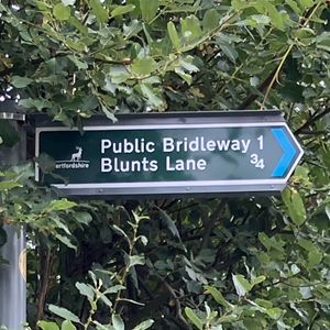
An example of the signage is given in Schedule 12, Part 11, Row 5 to The Traffic Signs Regulations and General Directions 2016 (SI 2016 No. 362). This particular example relates to the H25, part of the National Bridleroute Network.
While every endeavour has been made to give accurate information, the law is complex, subject to different interpretations and subject to change. The contents of this website are offered to help registered supporters and general readers, but do not constitute formal legal advice.