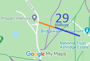
Annotated map reproduced courtesy of Googlemaps.
We need a volunteer to photograph the bridleway (blue route) for this year's Access and Riding Rights of Way Survey. It's easy - just take photographs (safely) when you use the path. Find out more!
At the time of the 2016 Access Survey (7 Jul 2016), no gates were across the roadway (orange route) and there were no signs to inicate the public nature of this part of route. A bridlegate was at the start of the bridleway section.
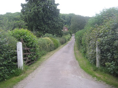
View from Stocks Road
Photo: Phil Wadey, 7 Jul 2016
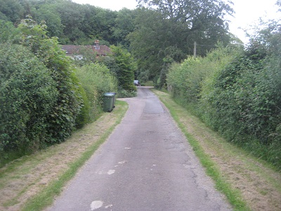
Continuing southwestwards
Photo: Phil Wadey, 7 Jul 2016
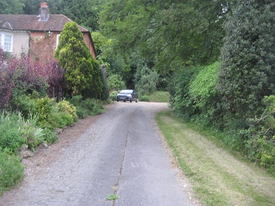
Continuing southwestwards
Photo: Phil Wadey, 7 Jul 2016
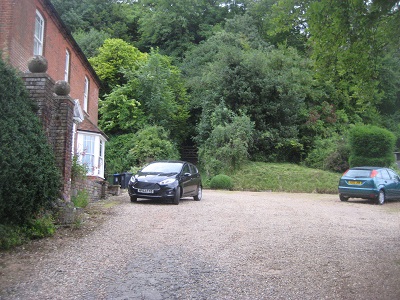
Continuing southwestwards
Photo: Phil Wadey, 7 Jul 2016
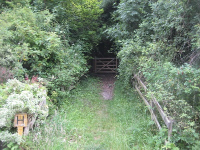
Start of bridleway section
Photo: Phil Wadey, 7 Jul 2016
 As part of the British Horse Society's work to record paths before
Path Extinguishment Day,
it was spotted that the road leading from Stocks Road to the bridleway (mentioned as a county road in the definitive statement and shown in orange in the plan above) was no longer on the county council's List of Streets. Accordingly an application was made to ensure that the rights on this section are not lost in 2031.
