
| PG: OBJECTS: PROMOTION: HERTSMERE: Aldenham 71 - The Brickfields |
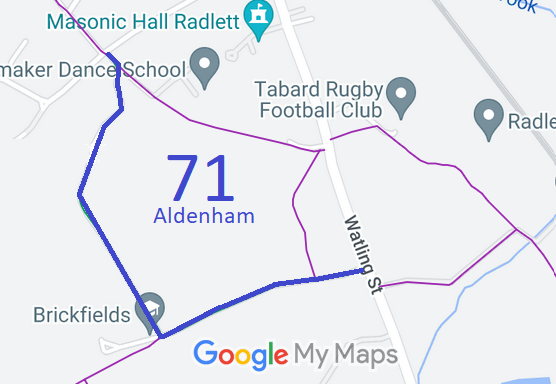 Sketch plan of route |
Bridleway 71 Aldenham (shown left, in blue) runs from Watling Street to
Loom Lane. The route is the only means of access to some properties, so some motor vehicles will be encountered by riders. At the time of the BHS 2022 Access Survey (23 Jan 22), there were no gates across the path and it was signposted at each end. | |||

 The path was added to the definitive map as a result of
work performed by Mrs Oates, who was bridleways officer for
the South Herts Pony Club, Patchetts Green Riding Club and the
British Horse Society. The path was eventually recorded in the
mid 1980s based on many years' evidence of use. At the time it
was reopened, it was immediately a very valuable path for children
and ponies based at Kendal Hall Farm and Little Kendals on
Watling Street. |
||||
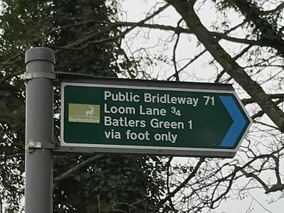 1. Sign on Watling Street Photo: Helen Taylor, 23 Jan 2022 |
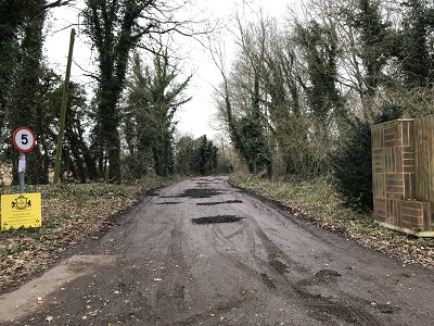 2. View SW from Watling Street Photo: Helen Taylor, 23 Jan 2022 |
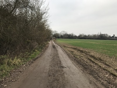 3. Heading NW after the corner Photo: Helen Taylor, 23 Jan 2022 |
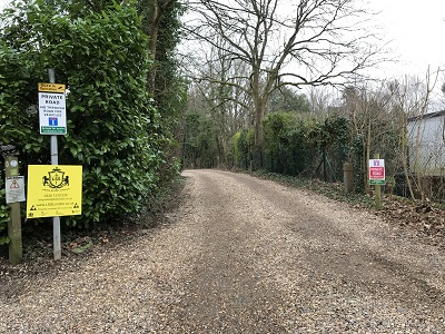 4. Looking S from Ald 47 junction Photo: Helen Taylor, 23 Jan 2022 |
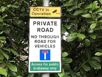 5. Sign at junction of Ald 47 and 71 Photo: Helen Taylor, 23 Jan 2022 |
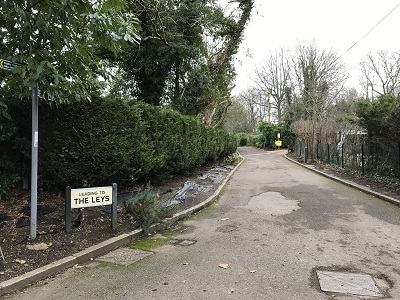 6. Looking SE from Loom Lane Photo: Helen Taylor, 23 Jan 2022 |
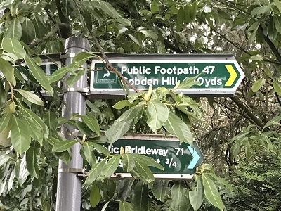 7. Signs on Loom Lane Photo: Helen Taylor, 23 Jan 2022 |
As
part of the British Horse Society's and Patchetts Green Bridleways Trust's work to record paths before
Path Extinguishment Day,
it was spotted that on the 2005 edition of the definitive map, the recorded bridleway did not quite meet Loom Lane, and so legal work was needed to correct the definitive map.
Following our application to the Secretary of State for a direction that the application be determined by a set date, the County Council looked at the case. The 'footpath section' was shown to be a bridleway on the 2015 edition of the definitive map. As a result the direction application was withdrawn and the County Council will ask the Ordnance Survey to correct their Explorer mapping to show the bridleway status. | ||
| Legal History 20 Jun 1953: The southern part of the route was was recorded as a footpath (Aldenham 17) on the original definitive map and statement. DM sheet DM3-38 (TQ19NE). 31 Dec 1977: The whole route was shown as a bridleway (Aldenham 71) on the special review draft map and statement. DM sheet SR-85 (TQ19NE). The Hertfordshire County Council (Review of Definitive Map) Order 1988 added this path to the definitive map as a bridleway. 25 Jan 2021: Application to record the 'gap' of part of Aldenham 47 as bridleway, as per the special review map. HCC reference: HTM/217. 19 Aug 2022: Shortlisted for next set of BHS direction applications. 14 Sep 2022: Applied to the Secretary of State for a direction that the application be determined by a set date. PINS reference ROW/3307243. (Request withdrawn 17 Sep 22. Map corrected.) |
Definitive Statement (4 Dec 2015)
Path: [Aldenham] 71. Status: Bridleway. Definitive Map sheet: 85 Commences from A5183 SW along well defined gravel/tarmac road, past FP46 to buildings thence NW to houses, thence NE to join with FP47 for approx. 80' to Loom Lane. (Width 10'). |
© 2025 Patchetts Green Bridleways Trust.
File reference: EC875.
