Paths Greenways Bridleways Tracks
 PG: OBJECTS: PROMOTION: Barkway 27 and Reed 24
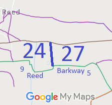
Map showing recorded Reed and Barkway paths
Annotated map reproduced courtesy of Googlemaps.
This route runs from the junction of Reed 10 Byway and Barkway 2 Byway, generally south along the parish boundary before turning east to join Reed 9 bridleway.

At the time of the BHS 2021 Access Survey (20 Sep 21), no gates were across the path and it was waymarked at each end. There are questions about the placement of the relatively new fence which need to be resolved.
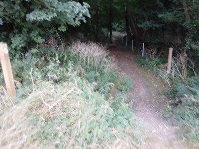
Barkway 27 and Reed 24
1. View from Reed 10
Photo: Karin Frapporti, 20 Sep 2021
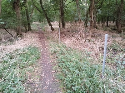
Barkway 27 and Reed 24
2. Continuing southwards
Photo: Karin Frapporti, 20 Sep 2021
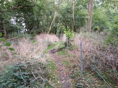
Barkway 27 and Reed 24
3. Continuing southwards
Photo: Karin Frapporti, 20 Sep 2021
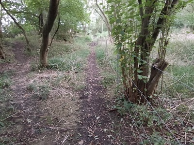
Barkway 27 and Reed 24
4. Continuing southwards
Photo: Karin Frapporti, 20 Sep 2021
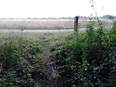
Barkway 27 and Reed 24
5. Exit to Reed 9
Photo: Karin Frapporti, 20 Sep 2021
BHS As part of the British Horse Society's work to record paths before Path Extinguishment Day, it was spotted that there was no recorded path between Reed 9 BW and Reed 10 BOAT. The historical evidence showed a continuous route, so an application was made in 2013 to record the gap. The County Council decided that the link path was a bridleway and an order was made in 2016. The landowner objected and the order was determined by an Inspector, who confirmed the order in 2017.

Legal History
1 Nov 1953: Not recorded on the original definitive map and statement. DM sheet DM3-37.
23 Mar 2013: Application to record as a restricted byway. HCC ref. NH/248.
16 Feb 2016: The Hertfordshire County Council (Barkway 5, 27 and Reed 24) Modification Order 2016 (confirmed 8 Mar 2017) recorded this route as a bridleway.
Definitive Statement (5 Feb 2016)
Path: [Reed] 24.  Status: Bridleway  Definitive Map sheet: 8
Commences from a junction with Reed RB9 at TL 3714 3567 running W into Bush Wood for approx 15m to TL 3713 3568 then N running parallel with Barkway 27 along the Parish boundary for approx. 270m to a junction with Barkway BOAT 2 and Reed 10 at TL 3709 3595.
Width: Varying between 7m and 18m between TL 3714 3567 and TL 3709 3595 being the Reed moiety of the route as shown in the Hertfordshire County Council (Barkway 5, 27 and Reed 24) Modification Order 2018.
Limitations: None.

Path: [Barkway] 27.  Status: Bridleway  Definitive Map sheet: 8
Commences parallel with Reed BR 24 at TL 3713 3568 then N running along the Parish boundary for approx. 270m to a junction with Barkway BOAT 2 and Reed BOAT 10 at TL 3709 3595.
Width: Varying between 7m and 18m between TL 3714 3567 and TL 3709 3595 being the Barkway moiety of the route as shown in the Hertfordshire County Council (Barkway 5, 27 and Reed 24) Modification Order 2018.
Limitations: None.

© 2022 Patchetts Green Bridleways Trust. File reference: EC787.

Stats2