Paths Greenways Bridleways Tracks
 PG: OBJECTS: PROMOTION: Barley 18 RB
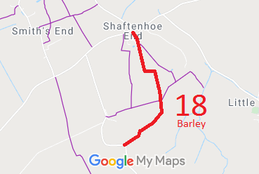
Map showing Barley 18 bridleway
Annotated map reproduced courtesy of Googlemaps.
This route starts in Shaftenhoe End and ends on Bell Lane.

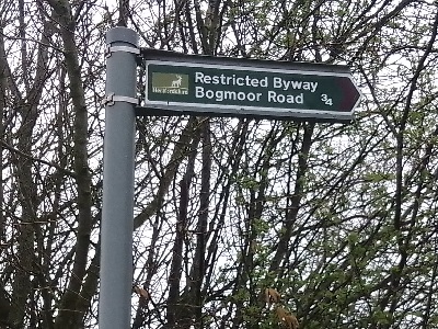
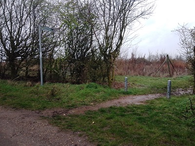
At the time of the BHS 2023 Access Survey (23 Mar 23), there were no gates across the path, but there were short posts at two points. It was signposted 'restricted byway' at each end. The photographs were taken along the route from south to north.
Photograph of Barley 18
Sign at Bell Lane
Photo: Karin Frapporti, 23 Mar 2023
Photograph of Barley 18
View from Bell Lane
Photo: Karin Frapporti, 23 Mar 2023
Photograph of Barley 18
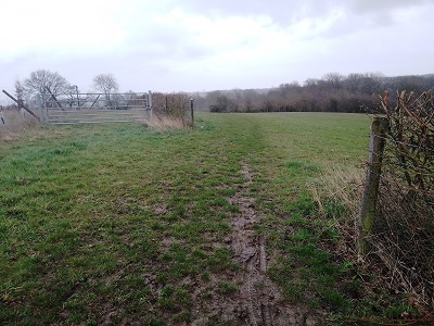
Continuing eastwards
Photo: Karin Frapporti, 23 Mar 2023
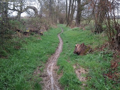
Photograph of Barley 18
Continuing northwards
Photo: Karin Frapporti, 23 Mar 2023
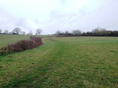
Photograph of Barley 18
Continuing northwards
Photo: Karin Frapporti, 23 Mar 2023
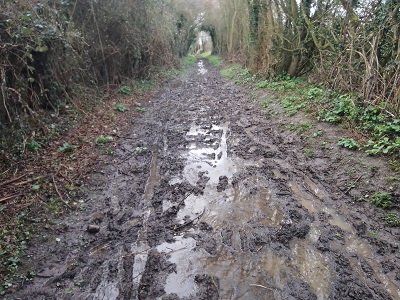
Photograph of Barley 18
Continuing northwards
Photo: Karin Frapporti, 23 Mar 2023
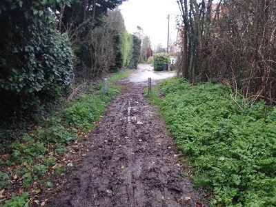
Photograph of Barley 18
Continuing northwards
Photo: Karin Frapporti, 23 Mar 2023
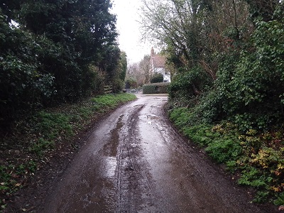
Photograph of Barley 18
Exit at Shaftenhoe End
Photo: Karin Frapporti, 23 Mar 2023
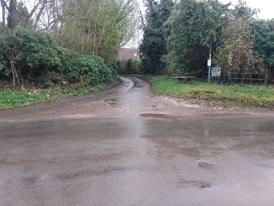
Photograph of Barley 18
View south from Shaftenhoe End
Photo: Karin Frapporti, 23 Mar 2023
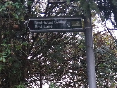
Photograph of Barley 18
Sign at Shaftenhoe End
Photo: Karin Frapporti, 23 Mar 2023
BHS As part of the British Horse Society's work to record paths before Path Extinguishment Day, it was spotted that (what is now) Barley 18 was not recorded on the definitive map and statement. An application was made in 2016 to record the route. The County Council agreed with the application and an order was made in 2017. Thre were objections, but not from the underlying landowner. After two rounds of written representations, the order was confirmed by an Inspector for the Secretary of State. This is a good example of a historical route that would have been extinguished by the Countryside and Rights of Way Act 2000 had an application not been made in time.

Legal History
1 Nov 1953: Barley 18 was not recorded on the original definitive map and statement. DM sheet DM4-11 and DM4-24.
31 Dec 1977: Barley 18 was not shown on the special review draft map and statement. DM sheet SR-09.
1 Aug 2016: Application for restricted byway to be recorded. HCC ref. NH/285.
17 Feb 2017: The Hertfordshire County Council (Barley 15 & 18) Modification Order 2017 (confirmed 29 Jun 2018) added the restricted byway to the definitive map and statement.
Definitive Statement (3 Jan 2017)
Path: [Barley] 18.  Status: Restricted Byway.  Definitive Map sheet: 9
Commences from Public Road, Shaftenhoe End at TL 4079 3787 SSE along a lane for approx. 250m to TL 4088 3764. Continuing SSE, then E, on the E and N side of the field boundary for approx. 185m to TL 4099 3754. Then continuing through a sunken lane S for approx. 235m to a crossing with FP 16 at TL 4104 3730. Then continuing S then SW for approx. 525m to join Bell Lane at TL 4075 3692.
Width: Varies between 5m and 16m as shown on the Hertfordshire County Council (Barley 18) Modification Order 2017.
Limitations: None

Note that the statement uses the slightly wrong title for the order '(Barley 18)' instead of '(Barley 15 & 18)'.

© 2022 Patchetts Green Bridleways Trust. File reference: EC871. HCC reference: NH/285.

Stats2