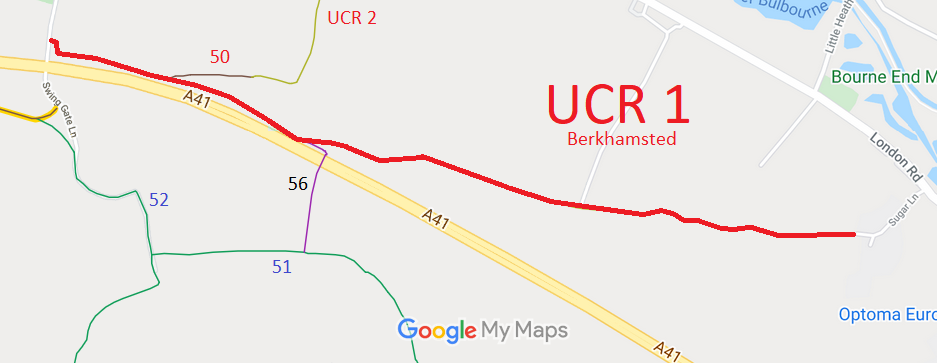
Annotated map reproduced courtesy of Googlemaps.
We need a volunteer to photograph this route for this year's Access and Riding Rights of Way Survey. It's easy - just take photographs (safely) when you use the path. Find out more!. (We have photos of the route from FP 56 junction to the eastern end, below, but still need the rest of the route.)
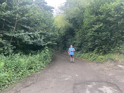
Looking west from Sugar Lane
Photo: Laura Frey, 14 Aug 2023
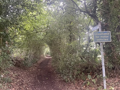
Continuing westwards
Photo: Laura Frey, 14 Aug 2023
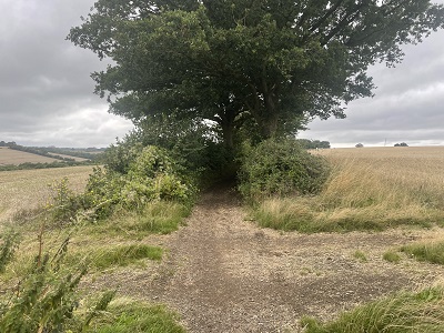
Continuing westwards
Photo: Laura Frey, 14 Aug 2023
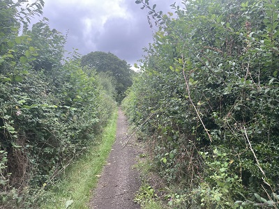
Continuing westwards
Photo: Laura Frey, 14 Aug 2023
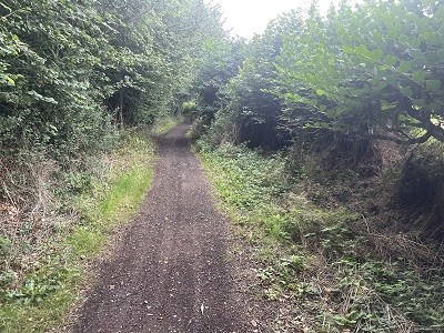
Approaching FP 56 junction
Photo: Laura Frey, 14 Aug 2023