
- Braughing 3 BW
- Braughing 4 BW
- Braughing 5 BW
- Braughing 6 BW
- Braughing 7 BW, from Pelham Road to Braughing 9 BW
- Braughing 8 BW, from The Causeway to Braughing 31 RB
- Braughing 9 BW, from Friars Road Braughing to Albury Road, Clapgate
- Braughing 12 BW
- Braughing 14 BW
- Braughing 14a, Furneux Pelham 7 and 9A BW, from The Causeway to Braughing 8 BW
- Braughing 15 and 20 BW, from Station Road to Warren Lane
- Braughing 16 and Standon 3 BW
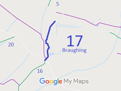
- Braughing 17 BW
- Braughing 20 BW - see Braughing 15.
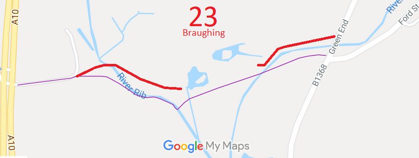
- Braughing 23 RB
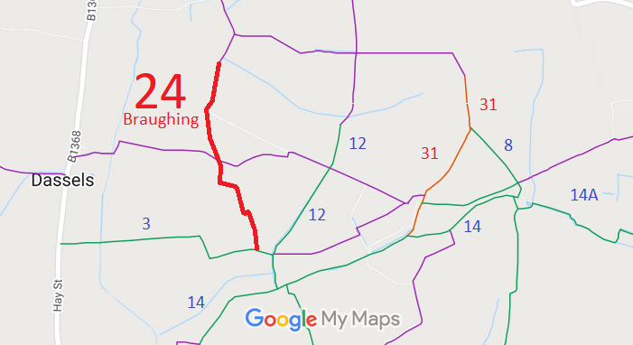
- Braughing 24 RB
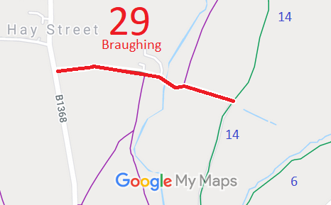
- Braughing 29 BOAT
- Braughing 30 BW
- Braughing 31 RB
- Braughing 33 BW
- Braughing 34 and Great Munden 49 BW

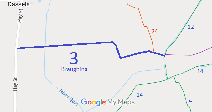
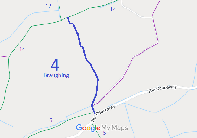
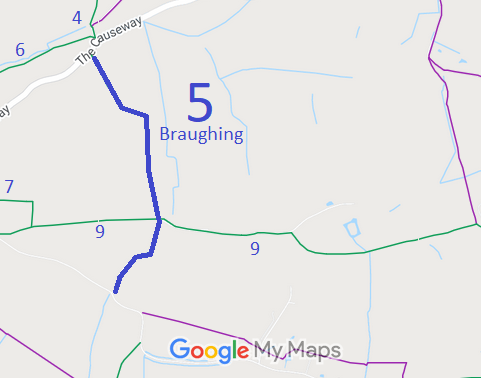
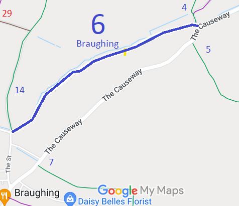
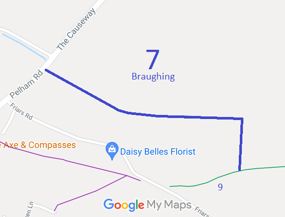
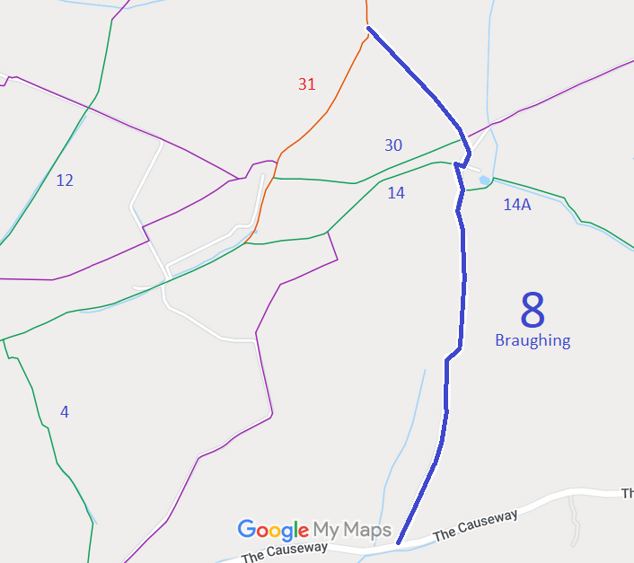
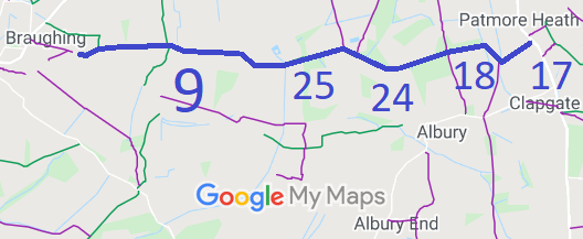
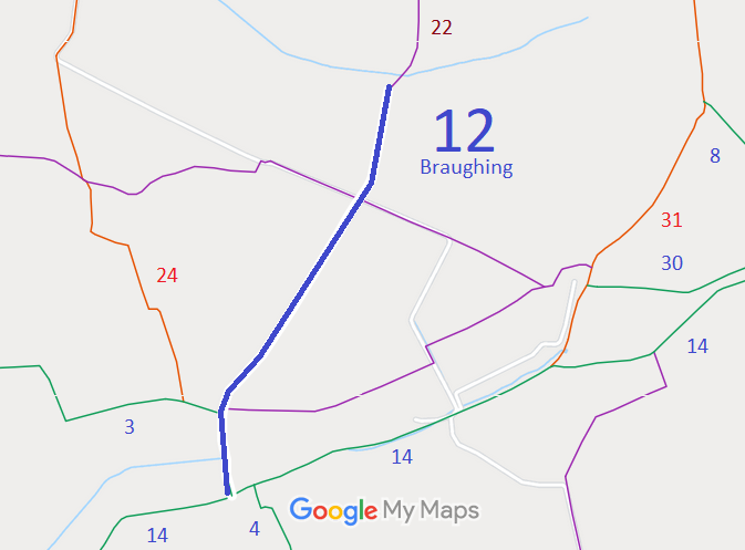
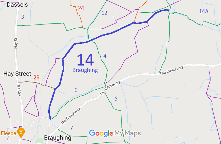
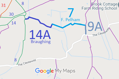
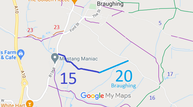
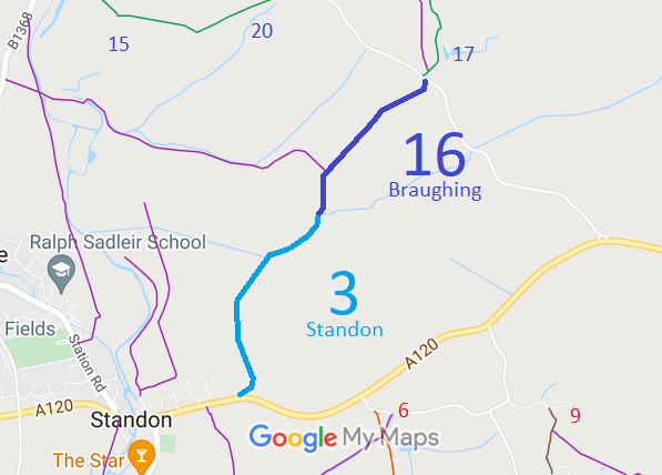
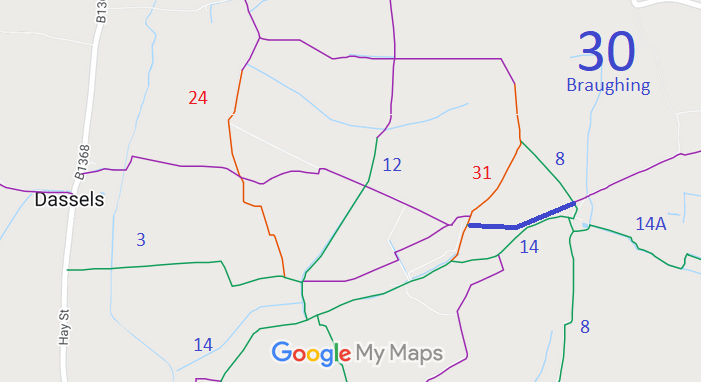
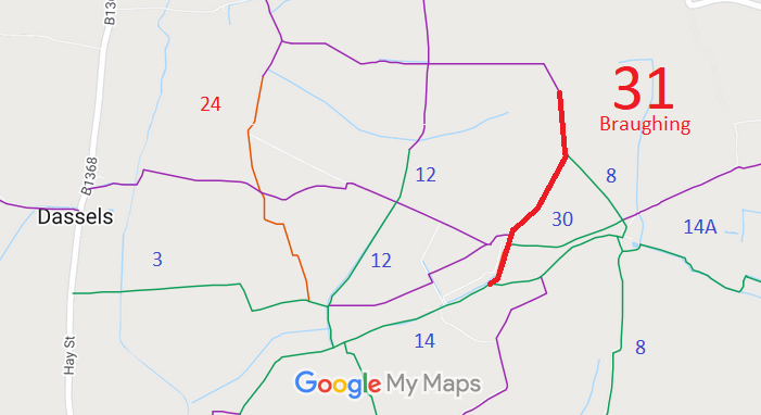
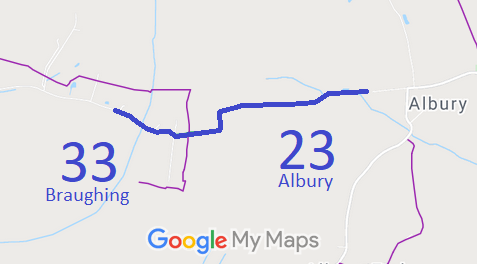
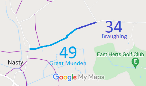
Annotated maps reproduced courtesy of Googlemaps.


 Local Government: Formerly within Braughing Rural District. From 1974, part of East Hertfordshire District.
Inclosure (1820).
 The Braughing Parish Council has adopted a Neighbourhood Development Plan (2018), which counts as part of the Local Development Plan when planning applications are considered.

