Paths Greenways Bridleways Tracks
 PG: OBJECTS: PROMOTION: Buntingford 31
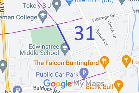
Map showing recorded Buntingford paths
Annotated map reproduced courtesy of Googlemaps.
This path starts from Buntingford 35 footpath and continues generally southwards to end on Bowling Green Lane (public road).

At the time of the 2024 Access Survey (8 Sep 24), the path was unobstructed. It was signposted at each end, but one of the signs was too faded to be of use. The route itself is hardly distinguishable on the ground from a road.
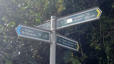
Photo of Buntingford 31 Sign at northern end
Photo credit: Phil Wadey, 8 Sep 2024
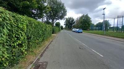
Photo of Buntingford 31 Continuing southwards
Photo credit: Phil Wadey, 8 Sep 2024
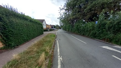
Photo of Buntingford 31 Continuing southwards
Photo credit: Phil Wadey, 8 Sep 2024
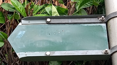
Photo of Buntingford 31 Sign at southern end
Photo credit: Phil Wadey, 8 Sep 2024
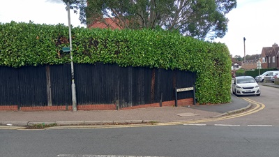
Photo of Buntingford 31 Sign at S end in context
Photo credit: Phil Wadey, 8 Sep 2024

Legal History
2 Feb 1953: Buntingford 31 was recorded as a bridleway on the original definitive map and statement. DM sheet DM1-07 (Herts 13 NE).
31 Dec 1977: Buntingford 31 was shown as a footpath on the special review draft map and statement, but objections were received and it remained a bridleway. DM sheet SR-24 (TL32NE).
29 Jan 1996: Objected-to changes on the Special Review map had to be investigated subsequently. The County Council decided that the route was a county road and so no order was made. [We think that means the route should have been upgraded to byway.]
...
Definitive Statement (4 Dec 2015)
Path: [Buntingford] 31.  Status: Bridleway.  Definitive Map sheet: 24
Commences from junction with FP35 thence SE past allotment gardens and Football Ground to join county road.
Maintainability
This route is maintainable at the public expense because it was a footpath or bridleway existing before 30 Apr 1959.
Location Information
Postcode for SATNAV for anyone inspecting path: SG9 9DF (for public car park).

© 2024 Patchetts Green Bridleways Trust. File reference: EC053.

Stats2