Paths Greenways Bridleways Tracks
 PG: OBJECTS: PROMOTION: Hatfield 56 BOAT and Wheathampstead 3 BOAT
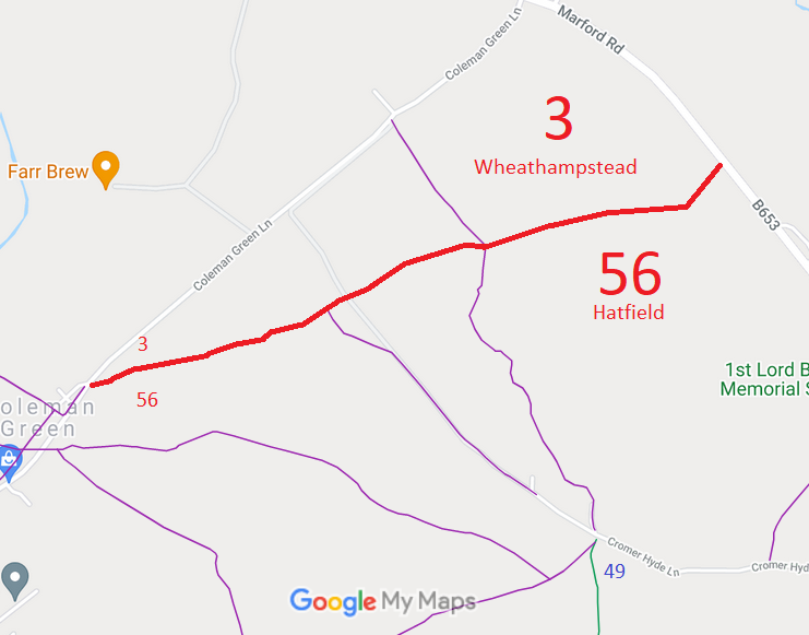
Map showing Hatfield paths
Annotated map reproduced courtesy of Googlemaps.
This byway runs from Coleman Green Lane along the parish boundary to the B653 Marford Road. At the estern end, the road is substantially higher than the path, so there are additional tracks to the side of the centre line of the path, leading to the roadside verge.

We need a volunteer to photograph this route for this year's Access and Riding Rights of Way Survey. It's easy - just take photographs (safely) when you use the path. Find out more!
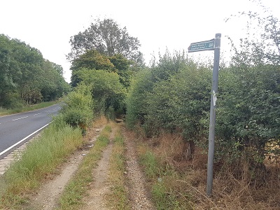
Wheathampstead 3 slip from Marford Road

Path start at Marford Road
Photo: Phil Wadey, 21 Aug 2022
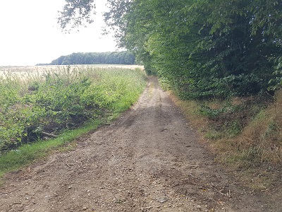
Wheathampstead 3 looking west from Marford Road

Looking west from Marford Road end
Photo: Phil Wadey, 21 Aug 2022

Legal History
31 Dec 1977: The route was shown as a footpath on the special review draft map and statement. DM sheets SR-56 and SR-57.
Definitive Statement (4 Dec 2015)
Path: [Hatfield] 56.  Status: Byway Open to All Traffic.  Definitive Map sheets: 56 and 57
Commences at junction of road at NE end of Colemans Green thence generally NE along parish boundary to junction with Marford Road opposite W corner of Brocket Park at Flint Bridge Plantation.

© 2022 Patchetts Green Bridleways Trust.