| Paths Greenways Bridleways Tracks | ||
| PG: OBJECTS: PROMOTION: Kings Langley 4 | ||
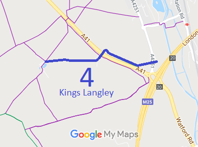
![]() Annotated map reproduced courtesy of Googlemaps. |
This bridleway starts on Watford Road (public road), and heads generally westwards, crossing the A4251 then along Langley Lodge Lane, crossing the A41 by overbridge and continuing westwards to end (on the definitive map) at a junction with three footpaths.
We need a volunteer to photograph this route for this year's Access and Riding Rights of Way Survey. It's easy - just take photographs (safely) when you use the path. Find out more! |
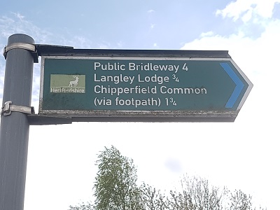
Sign at junction with A4251Photo: Phil Wadey, 1 May 2023 |
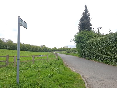
View west from A4251Photo: Phil Wadey, 1 May 2023 |
|
| Legal History 20 Jun 1953: Kings Langley 4 was recorded as a bridleway on the original definitive map and statement. DM sheet DM3-29 (TL00SE). 31 Dec 1977: The route was shown as a bridleway on the special review draft map and statement. DM sheet SR-75 (TL00SE). 13 Oct 2000: The Hertfordshire County Council (A41 Berkhamsted and Kings Langley Bypasses) Legal Event Modification Order 2000 (part 17) recorded the change to this route west of the A4251 caused by the A41 works orders. |
Definitive Statement (4 Dec 2015)
Path: [Kings Langley] 4. Status: Bridleway. Definitive Map sheet: 75 Commences from county road by Lodge for Kings Langley Lodge thence W to the northern boundary of the A41 (at TL 0744 0149) thence NW beside the A41 for approx. 440m (to TL 0705 0168) thence across the A41 by means of a bridge and SW to Middle Farm (at TL 0692 0155) thence W to junctions with FP's 3, 5 and 6 at Kings Langley Lodge. Limitations: No limitations between TL 0744 0149 and TL 0692 0155 |
© 2023 Patchetts Green Bridleways Trust.