
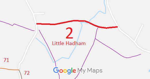
- Little Hadham 2 BOAT, from Pig's Green to Bromley Lane
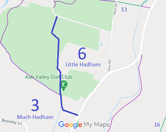
- Little Hadham 6 and Much Hadham 3 BW
- Little Hadham 10 BOAT
- Little Hadham 10 BW
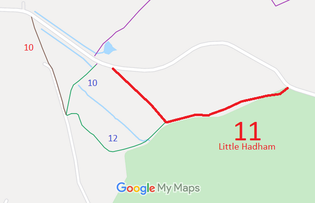
- Little Hadham 11 BOAT
- Little Hadham 12 BW, from Byway 10 to Byway 11
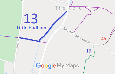
- Little Hadham 13 BW, from The Ford to New Road
- Little Hadham 16 and Much Hadham 16 BW
- Little Hadham 24A BW
- Little Hadham 26 BOAT
- Little Hadham 27, 29, 30 BW and Bishop's Stortford 18 BW
- Little Hadham 31 BW
- Little Hadham 35 and Albury 10 BW
- Little Hadham 35a BW
- Little Hadham 36 BW
- Little Hadham 37 BW
- Little Hadham 45 BOAT, from Acremore Street to Millfield Lane




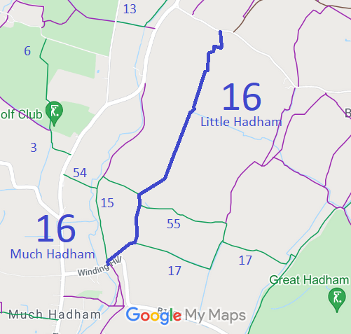
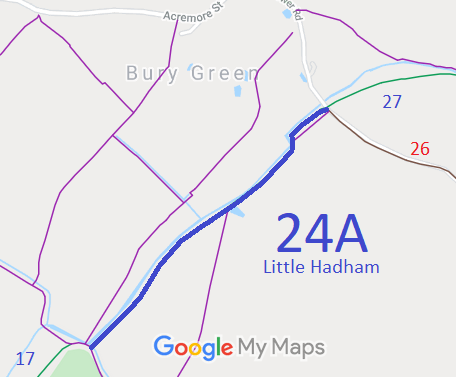
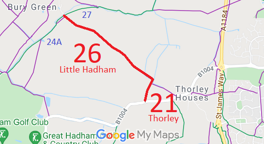
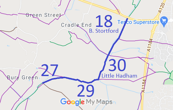
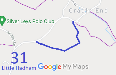
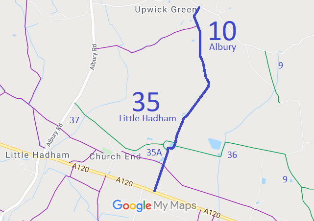
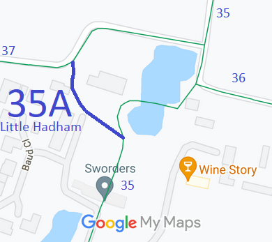
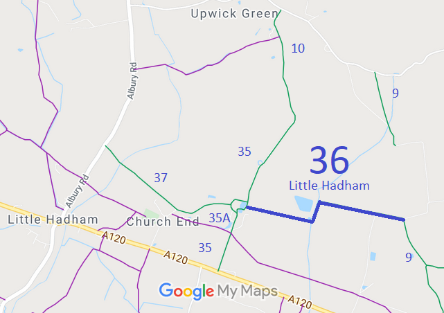
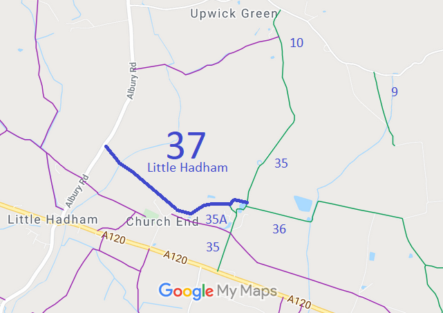
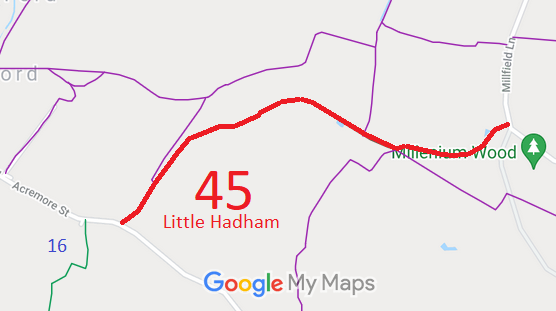
Annotated maps reproduced courtesy of Googlemaps.



 Local Government: Formerly within Braughing Rural District. From 1974, part of East Hertfordshire District.
Tithe (1844) DSA4/44/2. Inclosure (1859).

