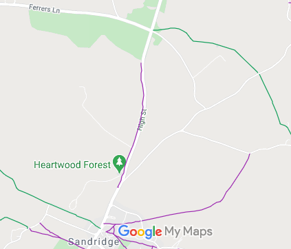
Annotated map reproduced courtesy of Googlemaps.
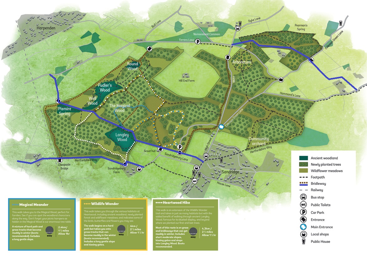
| Paths Greenways Bridleways Tracks | ||
| PG: OBJECTS: PROMOTION: Sandridge Heartswood Forest Bridleways | ||
Annotated map reproduced courtesy of Googlemaps. |
We need a volunteer to photograph this route for this year's Access and Riding Rights of Way Survey. It's easy - just take photographs (safely) when you use the path. Find out more! | |||
| ||||
| Legal History |
Definitive Statement (4 Dec 2015)
Path: [Sandridge] 32. Status: Bridleway. Definitive Map sheet: 56 Commences from just N of garden of No. 1 High Street thence generally N along inside of W hedge of St Albans - Wheathampstead Road to Nomansland Common Width: Varying between 3 and 18 metres as shown shaded grey on the Hertfordshire County Council (Sandridge 32) Legal Event Modification Order Plan 2012 between (TL 1718 1093) and (TL 1724 1111). Limitations: None |
© 2021 Patchetts Green Bridleways Trust.