Paths Greenways Bridleways Tracks
 PG: OBJECTS: PROMOTION: Sawbridgeworth 10
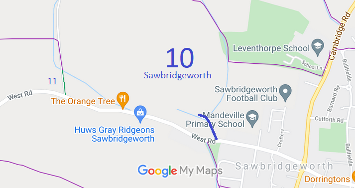
Map showing recorded Sawbridgeworth paths
Annotated map reproduced courtesy of Googlemaps.
This route starts on West Road, Sawbridgeworth, and heads generally north-eastwards into a field and to the parish boundary.

At the time of the BHS 2021 Access Survey (8 Aug 21), there was a gap to the side of the gate at the junction with West Road. There was no council signpost or waymark arrow to indicate that the route is a public bridleway.
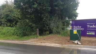
Sawbridgeworth 10 from road View from West Road
Photo: Phil Wadey, 8 Aug 2021
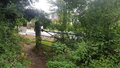
Sawbridgeworth 10 Looking back at gap, near West Road
Photo: Phil Wadey, 8 Aug 2021
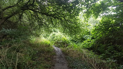
Sawbridgeworth 10 View north-eastwards
Photo: Phil Wadey, 8 Aug 2021
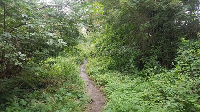
Sawbridgeworth 10 View north-eastwards
Photo: Phil Wadey, 8 Aug 2021
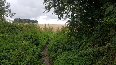
Sawbridgeworth 10 View north-eastwards into field
Photo: Phil Wadey, 8 Aug 2021

Legal History
2 Feb 1953: Sawbridgeworth 10 was recorded as a bridleway on the original definitive map and statement. DM sheet DM1-26.
31 Dec 1977: Sawbridgeworth 10 was shown as a bridleway on the special review draft map and statement. DM sheet SR-48.
Definitive Statement (4 Dec 2015)
Path: [Sawbridgeworth] 10.  Status: Bridleway.  Definitive Map sheet: 48
Starts from West Road, West of Brickwell Cottages to Racecourse. 8 feet wide dirt road.
Width: 8 ft

© 2023 Patchetts Green Bridleways Trust.