Paths Greenways Bridleways Tracks
 PG: OBJECTS: PROMOTION: Stanstead Abbots Lee Valley Park path LVP1
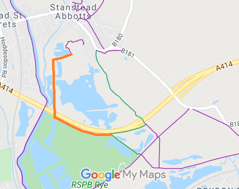
Map showing recorded Stanstead Abbots paths
Annotated map reproduced courtesy of Googlemaps.
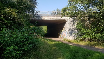
This route starts from Stanstead Abbots 19 bridleway, and continues northwestwards generally parallel to the A414. It then turns northwards through a good-height underbridge of the A414, past a sailing club, then turns eastwards to Marsh Lane.

At the time of the BHS 2021 Access Survey (5 Sep 21), where there were gates across the path, there was also a gap to the side for walkers, riders and cyclists. One of these gaps was tight for a large horse (see photo 4). In all, a nice route.
Stanstead Abbots LVP1
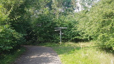
1. Sign at junction with Stanstead Abbots 19
Photo: Phil Wadey, 5 Sep 2021
Stanstead Abbots LVP1
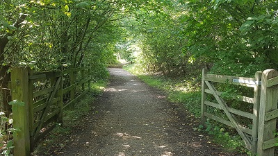
2. Looking W from Stanstead Abbots 19
Photo: Phil Wadey, 5 Sep 2021
Stanstead Abbots LVP1
3. A414 underbridge. Plenty of height.
Photo: Phil Wadey, 5 Sep 2021
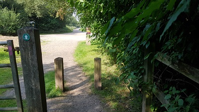
Stanstead Abbots LVP1
4. Just about enough room!
Photo: Phil Wadey, 5 Sep 2021
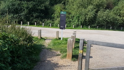
Stanstead Abbots LVP1
5. Plenty of room for horse passage
Photo: Phil Wadey, 5 Sep 2021
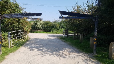
Stanstead Abbots LVP1
6. Take care at height restriction or go to side
Photo: Phil Wadey, 5 Sep 2021

Legal History
Definitive Statement (4 Dec 2015)
Path: [Stanstead Abbots] 19.  Status: Bridleway.  Definitive Map sheet: 60
Commences from Roydon Road W of Almshouses thence SE past Ryegate Farm to TL 3936 1092 continuing SE under A 414 Stanstead Abbotts Bypass for approx 80m to a junction with FP 23 at TL 3942 1086 thence generally SW adjacent to S side of Bypass for approx 350m to TL 3909 1075 thence generally SE for approx 350m to a junction with FP 11 at its junction with FP 10 on Toll Road at TL 3938 1057.
Width: 3m between TL 3936 1092 and TL 3938 1057
Limitations: none between TL 3936 1092 and TL 3938 1057

© 2023 Patchetts Green Bridleways Trust.