
- Stapleford 5 BW, from Gobions Lane to the A119
- Stapleford 12 BW, Bullsmill Road to Sacombe Road
- Stapleford 13 and Watton-at-Stone 33 BW, from Perrywood Lane to Gobions Farm
- Stapleford 14 BW

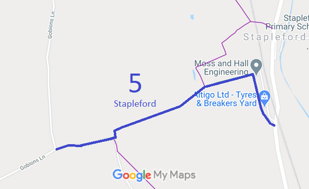
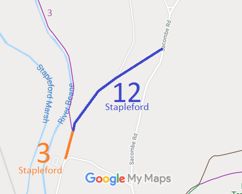
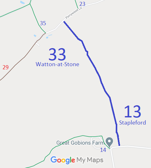
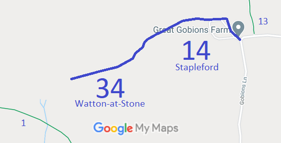
Annotated maps reproduced courtesy of Googlemaps.



 Local Government: Formerly within Hertford Rural District. From 1974, part of East Hertfordshire District.
Tithe (1839) DSA4/98/2. Inclosure (1851) [Bengeo, Sacombe and Stapleford]

