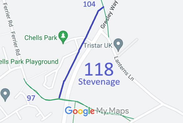
Annotated map reproduced courtesy of Googlemaps.
At the time of the 2024 Access Survey (7 Jul 24), there were no obstructions on the route. There are waymark arrows to indicate the route and sections of post and rail fencing indicating the strip comprising the path.
 Official Opening by Mayor of Stevenage
Photo: Peter Natt, 12 Jul 2024
Pictured left (front row) are Richard Cuthbert (Hertfordshire County Council, Definitive Map and Enforcement Team Leader), Cllr Beryl Brown (Chair, Great Ashby Community Council), the Mayor of Stevenage, Cllr Helena Lovett (Chair, Aston Parish Council), Phil Wadey (PGBT and BHS) and Brian Worrell (Hertfordshire Local Access Forum). Also present were Andrew Burton (Hertfordshire County Council Countryside Access Officer), Teresa Hudson (BHS Access Field Officer for the East of England), Mark Westley (East Herts Footpaths Society) and three riders: Debbie on Tilly, Jenny on Hector, and Alison on Beatrice.
Brian Worrell, representing Liddy Lawrence (Chair of the Local Access Forum), highlighted the original ambition and vision from the early days of the Stevenage Development Corporation, now Stevenage Borough Council, to have a figure of eight route around and through the town for the many horse and pony riders in the area. The vision was to connect the New Town urban landscape with the rural environment in which it was being built. It provides mainly permanent public rights of way for walkers, cyclists, horse riders and those with disabilities, largely off road in a rural setting. It complements the walking and cycling routes which are a part of the Stevenage urban landscape.
Phil Wadey expressed the thanks of the user groups for the creation of the path. The British Horse Society and Patchetts Green Bridleways Trust were keen to record the parts of the Route that were useful to riders and to put in place new sections to replace those that had fallen to development. Phil noted that the Mayor had arrived by bicycle and that one of his charities for the year was the Herts Sports and Physical Activity Partnership. He hoped the provision of this new path, open to walkers riders and cyclists, would help with informal recreation for local people.
Teresa Hudson noted that 66 horses died and 86 were injured in road incidents in 2023, meaning it was vital that we had a good network of bridleways and byways. She said that the British Horse Society was pleased to have contributed funding from its Ride Out UK Fund to help this path be created, and thanked all those involved.
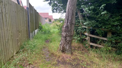 Looking North from Stevenage 97 BW
Photo: Phil Wadey, 7 Jul 2024
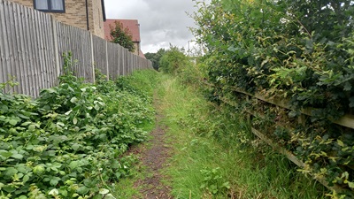 Continuing North
Photo: Phil Wadey, 7 Jul 2024
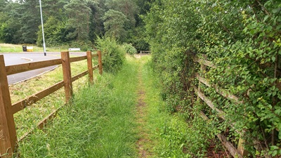 Continuing North
Photo: Phil Wadey, 7 Jul 2024
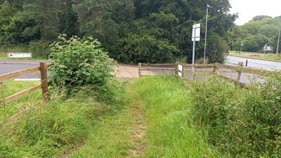 Approaching Poston Place
Photo: Phil Wadey, 7 Jul 2024
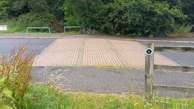 Crossing Poston Place
Photo: Phil Wadey, 7 Jul 2024
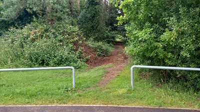 Looking North from Stevenage 97 BW
Photo: Phil Wadey, 7 Jul 2024
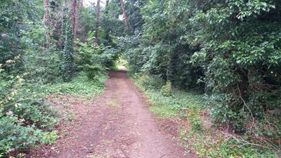 Continuing North
Photo: Phil Wadey, 7 Jul 2024
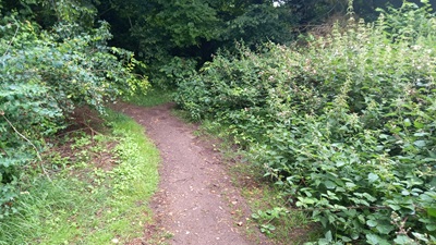 Continuing North
Photo: Phil Wadey, 7 Jul 2024
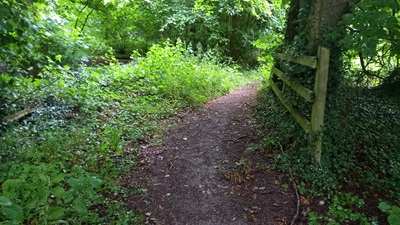 Continuing North
Photo: Phil Wadey, 7 Jul 2024
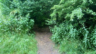 Looking South from Stevenage 104 BW
Photo: Phil Wadey, 7 Jul 2024
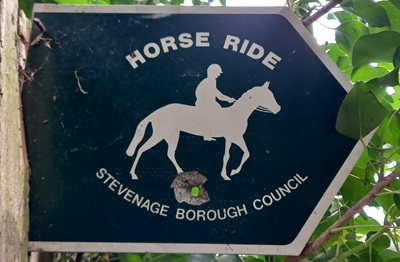

 This section of the Stevenage Horse and Pony Route has existed for many years but is not on the definitive map or Ordnance Survey maps, so was not known by the wider walking, cycling and riding public and kept clear by useage.
The Patchetts Green Bridleways Trust and British Horse Society worked with Stevenage Borough Council and Hertfordshire County Council to have it recorded as a public bridleway. The public path creation agreement was completed on 2 Apr 2024, ensuring that this route would be a public bridleway maintainable at the public expense. Had the recording simply happened based on user evidence, the route would not have been publicly maintainable.
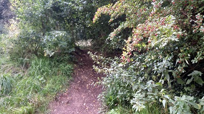 Path viewed from Stevenage 104 BW
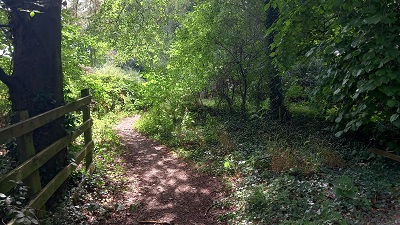 Continuing South
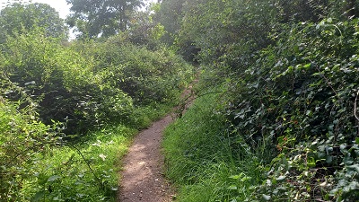 Continuing South
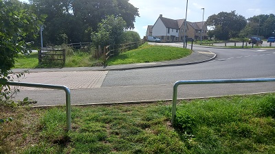 Continuing South
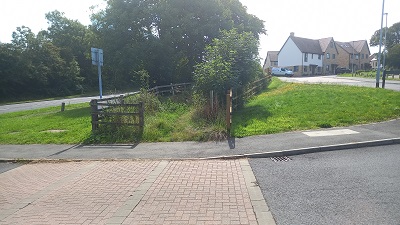 Crossing Poston Place
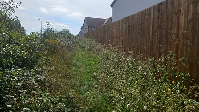 Continuing South
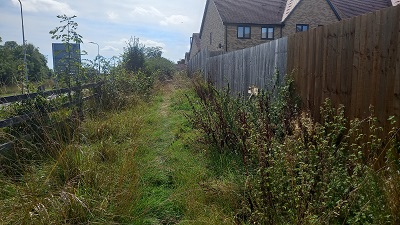 Continuing South
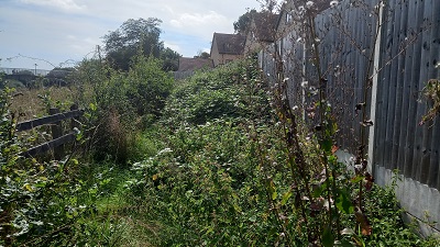 Continuing South
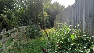 Continuing South
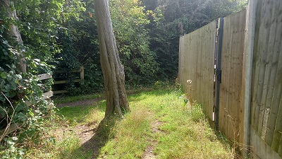 Stevenage 97 is behind the tree
