Paths Greenways Bridleways Tracks
 PG: OBJECTS: PROMOTION: St Paul's Walden Shacklegate Lane
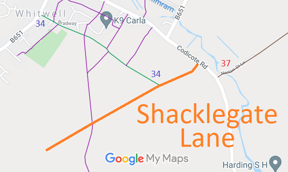
Map showing recorded St Paul's Walden paths
Annotated map reproduced courtesy of Googlemaps.
This route runs from Codicote Lane (public road) generally Southwestwards to a copse.

At the time of the BHS 2022 Access Survey (13 Nov 22), the path was unobstructed. There were no signposts at either end.
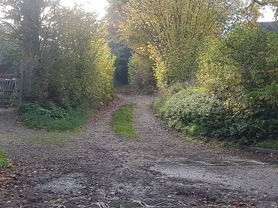
Photograph of Shacklegate Lane View from Codicote Road
Photo: Phil Wadey, 13 Nov 2022
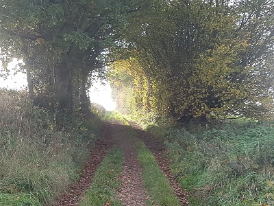
Photograph of Shacklegate Lane Continuing Southwestwards
Photo: Phil Wadey, 13 Nov 2022
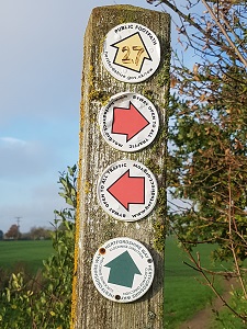
Photograph of Shacklegate Lane
Waymark post at FP junction
Photo: Phil Wadey, 13 Nov 2022
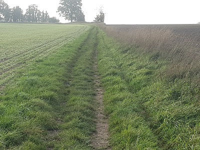
Photograph of Shacklegate Lane Approaching SW end of path
Photo: Phil Wadey, 13 Nov 2022
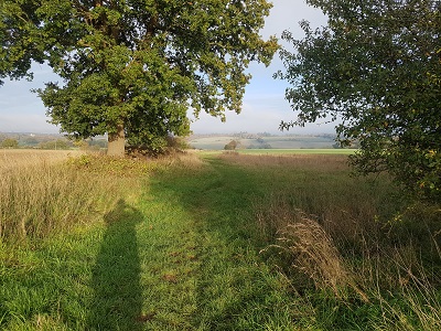
Photograph of Shacklegate Lane View NE from end of path
Photo: Phil Wadey, 13 Nov 2022
BHS As part of the British Horse Society's work to record paths before Path Extinguishment Day, it was spotted that this route was unrecorded. It had been accepted as a Main Road in 1926, but had dropped off the official record since then, and so was in danger of being extinguished. Several other paths end on this lane. An application was made in 2021 to record the old Main Road route.

Legal History
8 Nov 1926: The Rural District of Hitchin (Main Roads) (No 2) Order 1926 (confirmed 2 May 1927) recorded the route as a Main Road, maintainable by the County Council.
1938: The route is shown as an unclassified road on the Hertfordshire County Council ROW survey. Map Hitchin Rural West sheets 15 and 18.
31 Dec 2021: Application to record route as a byway. HCC reference NH/341.
 Definitive Map sheet: 28

© 2023 Patchetts Green Bridleways Trust. File reference: EC1056. HCC reference: NH/341.

Stats2