Paths Greenways Bridleways Tracks
 PG: OBJECTS: PROMOTION: Tewin 8
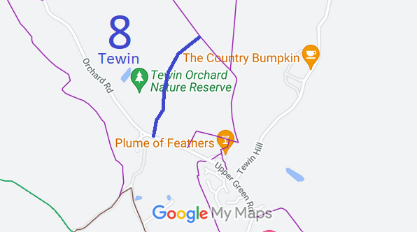
Map of Recorded Tewin Paths
Annotated map reproduced courtesy of Googlemaps.
This route starts from Upper Green Road (public road) and continues generally northwards to end at a kissing gate and junction with Tewin 8 footpath and Tewin 33 footpath. It appears as a cul-de-sac for riders and cyclists on the definitive map.

At the time of the 2024 Access Survey (16 Jun 24), there were no gates across the path itself, although there was a kissing gate at the northern end junction with the footpath. The path was signposted at the junction with the public road.
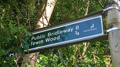
Photograph along Tewin 8 bridleway Sign at Upper Green Road
Photo: Phil Wadey, 16 Jun 2024
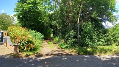
Photograph along Tewin 8 bridleway View from Upper Green Road
Photo: Phil Wadey, 16 Jun 2024
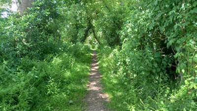
Photograph along Tewin 8 bridleway Continuing Northwards
Photo: Phil Wadey, 16 Jun 2024
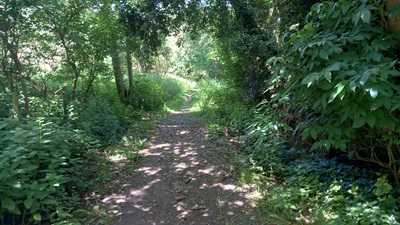
Photograph along Tewin 8 bridleway Continuing Northwards
Photo: Phil Wadey, 16 Jun 2024
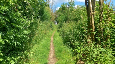
Photograph along Tewin 8 bridleway Continuing Northwards
Photo: Phil Wadey, 16 Jun 2024
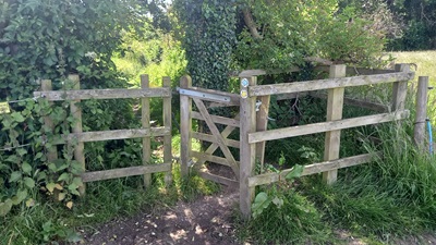
Photograph along Tewin 8 bridleway Looking South along path from FP
Photo: Phil Wadey, 16 Jun 2024

Legal History
1942: Following an application to the High Court by Hertford Rural District Council (HRDC), the route shown as Tewin 8 bridleway was dedicated by the landowner (Commander Hopkyns) across his land.
2 Feb 1953: The route was recorded as a bridleway on the original definitive map and statement. DM sheet DM2-20 (Herts 29 NW).
31 Dec 1977: The route was shown as a bridleway on the special review draft map and statement. DM sheet SR-44 (TL21NE).
21 Jun 1990: Application for the whole of Tewin 8 to be recorded as a bridleway.
5 Aug 1998: Hertfordshire County Council, after investigation, found that Tewin 8 BW was a bridleway but there was insufficient evidence to show Tewin 8 FP had bridleway status.
Definitive Statement (4 Dec 2015)
Path: [Tewin] 8.  Status: Bridleway/Footpath.  Definitive Map sheet: 44
Commences at junction with county road at Upper Green NW of the "Plume and Feathers" P.H. thence NE to the junction with FP33 then continues as FP, NW past Hazelton Bottom thence N through Tewin Wood to Estate Road (Cowper Way).
Maintainability
This route is maintainable at the public expense because it was a footpath or bridleway existing before 30 Apr 1959.
Location Information
Postcode for SATNAV for anyone inspecting path: AL6 0LX.

© 2024 Patchetts Green Bridleways Trust. File reference: EC059.

Stats2