Paths Greenways Bridleways Tracks
 PG: OBJECTS: PROMOTION: Welwyn Garden City 69
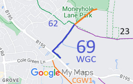
Map showing recorded Welwyn Garden City paths
Annotated map reproduced courtesy of Googlemaps.
This route starts from the B195 (public road) (not far from the Cole Green Way) and continues parallel to the road then heads northwestwards to join Welwyn Garden City 62 bridleway and Hertingfordbury 23 footpath.

At the time of the 2024 Access Survey (17 Aug 24), there was one gate (locked) across the path with a space to teh side for walkers, riders and cyclists. It was signposted in two places, both on the B195, and there were waymark arrows part way along the NE section and at the junction with Welwyn Garden City 62 bridleway. The orange extension route was unobstructed but unsigned.
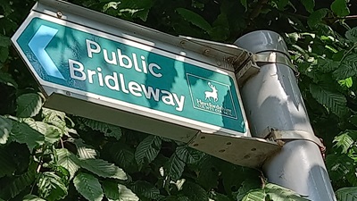
Photo of Welwyn Garden City 69 Sign at SE end of path
Photo: Phil Wadey, 17 Aug 2024
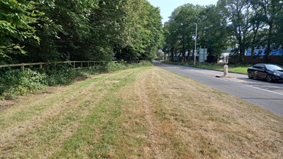
Photo of Welwyn Garden City 69 View along the path parallel to B195
Photo: Phil Wadey, 17 Aug 2024
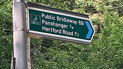
Photo of Welwyn Garden City 69 Sign where path leaves B195
Photo: Phil Wadey, 17 Aug 2024
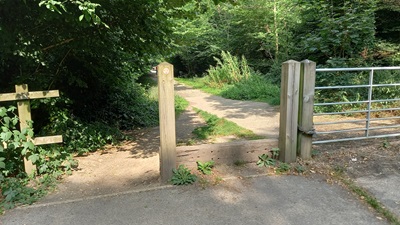
Photo of Welwyn Garden City 69 View from B197
Photo: Phil Wadey, 17 Aug 2024
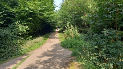
Photo of Welwyn Garden City 69 Continuing NE
Photo: Phil Wadey, 17 Aug 2024
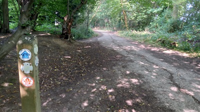
Photo of Welwyn Garden City 69 Continuing NE
Photo: Phil Wadey, 17 Aug 2024
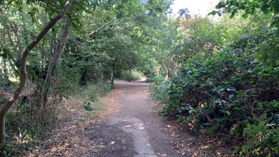
Photo of Welwyn Garden City 69 Continuing NE
Photo: Phil Wadey, 17 Aug 2024
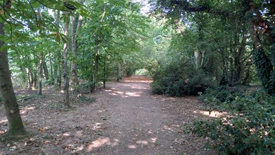
Photo of Welwyn Garden City 69 extension Continuing NE along extension
Photo: Phil Wadey, 17 Aug 2024
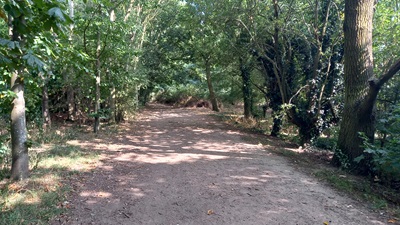
Photo of Welwyn Garden City 69 extension Continuing NE along extension
Photo: Phil Wadey, 17 Aug 2024
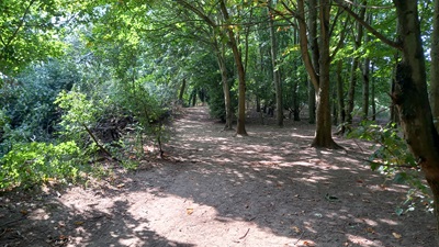
Photo of Welwyn Garden City 69 extension Continuing NE along extension
Photo: Phil Wadey, 17 Aug 2024
BHS PGBT As part of the Patchetts Green Bridleway Trust's and British Horse Society's work to record paths before Path Extinguishment Day, it was spotted that Welwyn Garden City 69 appeared to be an old road and continued further north (shown in orange) than currently (2024) shown on the definitive map. The historical evidence showed a continuous route, so an application was made in 2024 to record the extension and higher status.

Legal History
1822: WGC 69 was shown in the manner of 'Lanes and Bridleways'.
1838: WGC 69 was shown on the Hertingfordbury tithe map as not subject to an apportionment.
1910: WGC 69 was shown as a white road on the Inland Revenue Valuation Map (Herts 28-16).
2 Feb 1953: WGC 69 was recorded as CRF (Carriage Road used as a Footpath) on the original definitive map and statement. DM sheet DM2-19 (Herts 28 SE).
31 Dec 1977: WGC 69 was shown as a bridleway on the special review draft map and statement. DM sheet SR-58.
14 Aug 2024: Application to extend and upgrade to RB. HCC reference WH/126.
Application Process
Path Application Certificate Direction Inv Report Order Confirmed
EC845 14 Aug 24 WH/126 18 Aug 24        
Definitive Statement (4 Dec 2015)
Path: [Welwyn Garden City] 69.  Recorded Status: Bridleway.  Definitive Map sheet: 58
Commences from county road (B195) opposite junction with Cole Green Lane thence NW parallel with county road and NE along Green Lane between Rolls Wood and Blackthorn Wood thence NW to junction with BR62.
Maintainability
This route is maintainable at the public expense because it was a footpath or bridleway existing before 30 Apr 1959.
Location Information
Postcode for SATNAV for anyone inspecting path: Holwell Hyde AL7 3DJ (south end of path).

© 2024 Patchetts Green Bridleways Trust. File reference: EC845. DOBBIN reference: HER-0158. HCC reference: WH/126.