Paths Greenways Bridleways Tracks
 PG: OBJECTS: PROMOTION: Weston 48
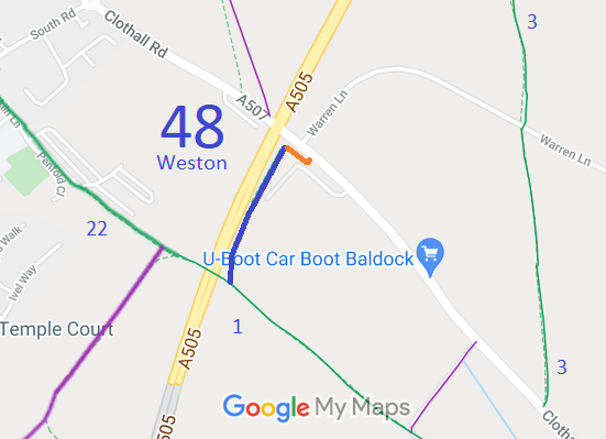
Map showing recorded Weston paths
Annotated map reproduced courtesy of Googlemaps.
This bridleway (shown in bkue on the plan) starts on Weston 1 bridleway and runs parallel to the A505 to end on Clothall Road (public road). The orange route on the plan is formally part of the verge of the road, and ensures that the bridleway exit comes out at a safer place than by the bridge, the county council advised.

At the time of the BHS 2022 Access Survey (1 Oct 22), the bridleway and the verge route from the road were considered as a single route. There were no gates or structures across the definitive path, but there was a step-over gate on the link path. This was very overgrown, making it difficult for horses to get through without the rider being scratched by brambles, so this was reported to the Council. There were signs at each end of the combined route.
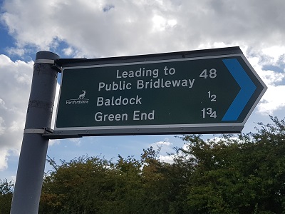
Link from road to Weston 48 Sign at Clothall Road
Photo: Phil Wadey, 1 Oct 2022
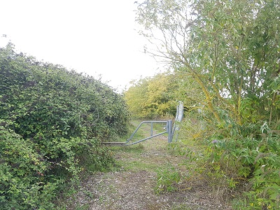
Link from road to Weston 48 Step-over gate near Clothall Road
Photo: Phil Wadey, 1 Oct 2022
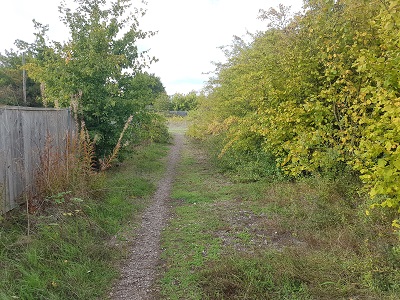
Link from road to Weston 48 Continuing towards BW 48
Photo: Phil Wadey, 1 Oct 2022
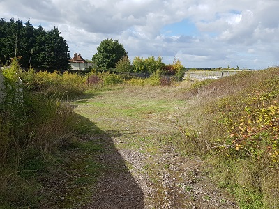
Link from road to Weston 48 Junction with BW 48
Photo: Phil Wadey, 1 Oct 2022
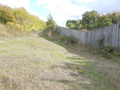
Link from road to Weston 48 View of link path from BW 48
Photo: Phil Wadey, 1 Oct 2022
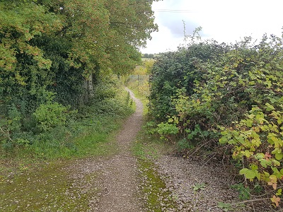
View along Weston 48 bridleway View from link path
Photo: Phil Wadey, 1 Oct 2022
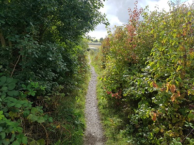
View along Weston 48 bridleway Heavy side growth in places
Photo: Phil Wadey, 1 Oct 2022
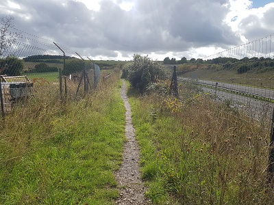
View along Weston 48 bridleway Good width where no sidegrowth
Photo: Phil Wadey, 1 Oct 2022
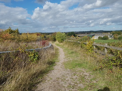
View along Weston 48 bridleway View from Weston 1 BW
Photo: Phil Wadey, 1 Oct 2022
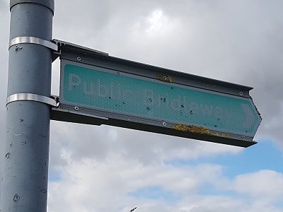
View along Weston 48 bridleway Sign at Weston 1 junction
Photo: Phil Wadey, 1 Oct 2022

Legal History
12 Mar 2010: The Hertfordshire County Council (A505 Baldock Bypass) Legal Event Modification Order 2010 added Weston 48 BW to the definitive map and statement.
2 Oct 2022: Overgrown on step-over gate reported to Council. HCC reference 401002973228.
2 Oct 2022: Overgrown along Weston 48 BW reported to Council. HCC reference 401002973229.
7 Nov 2022: Overgrowth problems of 2 Oct 22 reported cleared by the Council.
Definitive Statement (4 Dec 2015)
Path: [Weston] 48.  Status: Bridleway.  Definitive Map sheet: 13
Commences from a junction with BR1 at TL 2549 3296 and continues NE along the E edge of the A505 (Baldock Bypass) for 300m to Clothall Road at TL 2558 3324.
Width: 3 metres between TL 2549 3296 and TL 2558 3324
Limitations: None

© 2022 Patchetts Green Bridleways Trust.

Stats2