
- Wigginton 1 RB, Heath End Road to near Lodge Farm.
- Wigginton 10 RB, near Botton House to Cow Roast.
- Wigginton 11 Hillgreen Farm Lane
- Tring Town 18 and Wigginton 22 from Wick Road Wigginton to Hastoe Cross
- Wigginton 18 and Tring Town 21 and 85, Fox Road to Marlin Hill (Icknield Way)
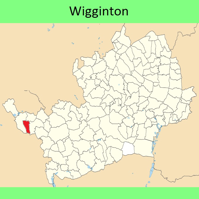
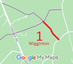
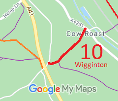
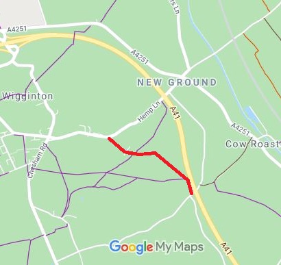
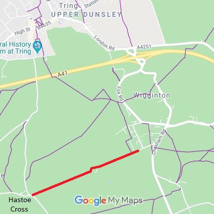
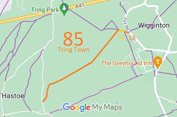
Annotated maps reproduced courtesy of Googlemaps.



 Local Government: Formerly within Berkhamsted Rural District.
From 1974, part of Dacorum District.
Tithe (1841) DSA4/118/2. Inclosure (1854).

