
Patchetts Green Bridleways Trust
Aldenham 74
| PG: OBJECTS: PROMOTION: HERTSMERE: Aldenham 74 (Sewage Works Path) |
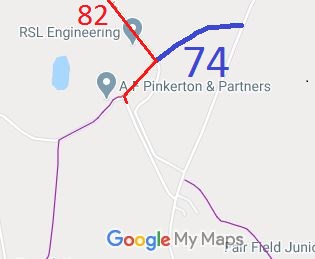 Annotated map reproduced courtesy of Googlemaps. |
Aldenham 74 runs from Blackbirds Lane (shown red on the map) generally east-north-east along the boundary of the sewage works to Oakridge Lane.
In the 1980s, the path was narrow and muddy. Overhanging trees denied the path the air and sun needed for it to dry out, and the clay base meant that it did not drain at all. In 2005, the Hertsmere Borough Council, as part of its Greenways Project, cut back the vegetation and put down a resiliant surface, making this track useful all year round. At the time of the 2025 Access Survey (6 Mar 25), no gates were across the path and it was signposted at the junction with Oakridge Lane. There was no sign at the junction with Blackbirds Lane. |
|||
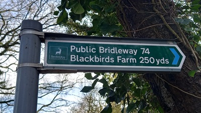 Sign at Oakridge Lane Photo: Phil Wadey, 6 Mar 2025 |
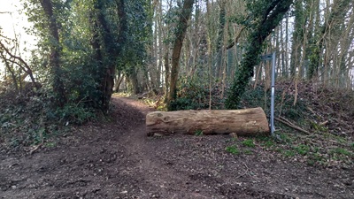 View from Oakridge Lane Photo: Phil Wadey, 6 Mar 2025 |
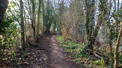 Continuing NW Photo: Phil Wadey, 6 Mar 2025 |
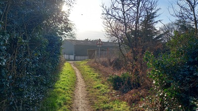 Continuing NW Photo: Phil Wadey, 6 Mar 2025 |
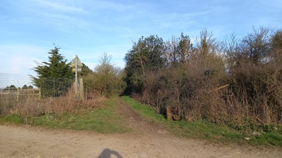 View from Blackbirds Lane Photo: Phil Wadey, 6 Mar 2025 |

 This path was recorded on the definitive map as a result of an application to record a footpath nearby. As part of the investigation into the alleged footpath, the Council saw that this path was an extension and so included it in their order. When the order was published, the BHS entered an objection to this section as it was used by riders. At the subsequent public inquiry, the bridleway status of this piece was upheld, and the originally applied-for footpath was turned down. This case is therefore a good example of why public notices about footpath orders need to be scrutinised just as much as those relating to bridleways! |
||||
|
| ||||||||||||||||||||||||||||||
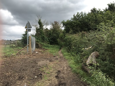 View from Blackbirds Lane Photo: Helen Taylor, 1 Aug 2021 |
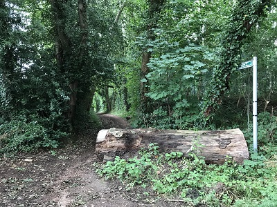 View from Oakridge Lane Photo: Helen Taylor, 1 Aug 2021 |
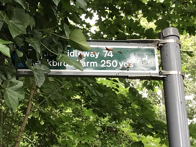 Sign at junction with Oakridge Lane Photo: Helen Taylor, 1 Aug 2021 |
© 2025 Patchetts Green Bridleways Trust.
File reference: EC549.
