
Annotated map reproduced courtesy of Googlemaps.
At the time of the BHS 2022 Access Survey (22 Jul 22), the route was clear and unobstructed. There were no gates were across the path.

Looking S from Ardeley 49
Photo: Phil Wadey, 22 Jul 2022
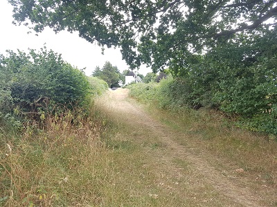
Continuing S
Photo: Phil Wadey, 22 Jul 2022

Continuing S
Photo: Phil Wadey, 22 Jul 2022

Approaching road and windmill.
Photo: Phil Wadey, 22 Jul 2022
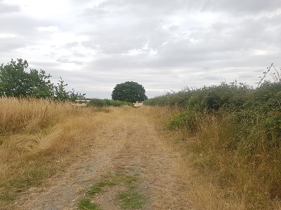
Looking North from Southern end
Photo: Phil Wadey, 22 Jul 2022

 As part of the British Horse Society's work to record paths before
Path Extinguishment Day,
it was spotted that this route was unrecorded. The historical evidence showed a continuous route with the western part of Ardeley 49, so an application was made in 2022 to record it. It turned out that the East Herts Footpaths Society had also applied for this route, in 2003, but it was still in the County Council's queue. By making an application, the BHS will be able to apply to the Secretary of State after a year for a direction to the County Council to process the application within a set period of time. After the public has waited 20 years, this seems appropriate.
