
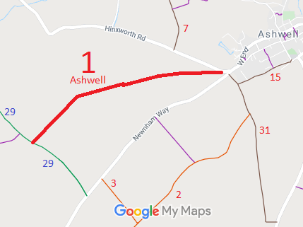
- Ashwell 1 RB from Hinxworth Road to Ashwell 29 BW
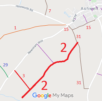
- Ashwell 2 RB from Ashwell 31 Byway to Ashwell 3 byway and parish boundary and Ashwell 33 BW
- Ashwell 3 RB from Newnham Road to Ashwell 2 RB
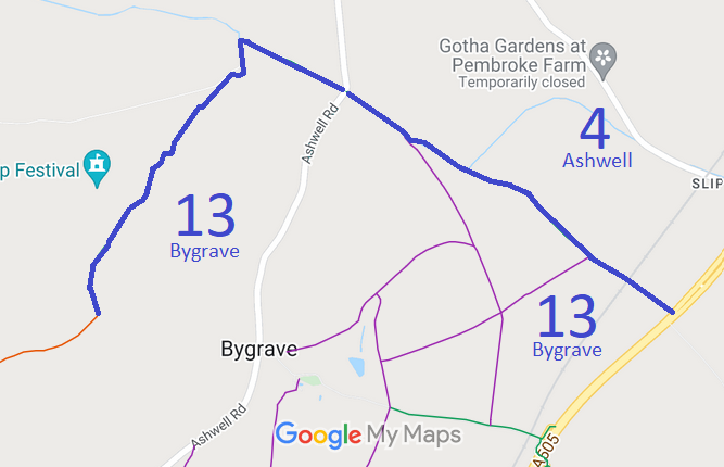
- Ashwell 4 BW and Bygrave 13 BW from Ashwell Road to Icknield Way
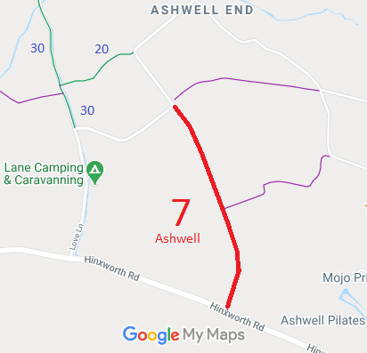
- Ashwell 7 BOAT from road near Love's Farm to Hinxworth Road
- Ashwell 15 BOAT from Newnham Lane to Bear Lane via Ashwell 31 RB
- Ashwell 16 BOAT Ashwell Street
- Ashwell 17 BOAT from Station Road to byways in Guilden Morden (Cambs)
- Ashwell 20 BW from public road to Ashwell 30 BW
- Ashwell 21 BOAT 'Green Lane' from Northfield Road towards Edworth
- Ashwell 29 BW Newnham Road to Hinxworth Road.
- Ashwell 30 BW and Hinxworth 13 BW from Love Lane to the Ridge Way
- Ashwell 31 BOAT from Ashwell 15 to Bygrave Road
- Ashwell 33 BW from Ashwell 2 RB to Caldecote & Newnham 14 BW

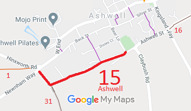


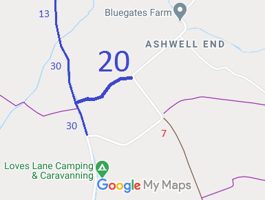
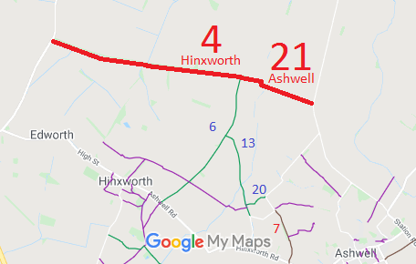
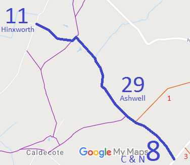
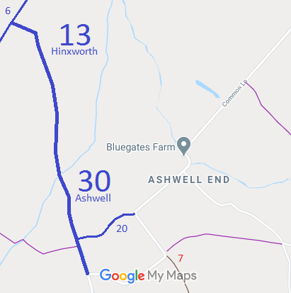
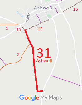
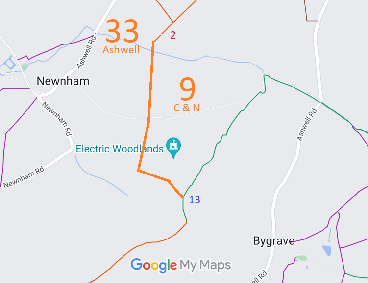
Annotated maps reproduced courtesy of Googlemaps.



 Local Government: Formerly within Hitchin Rural District. From 1974, part of North Hertfordshire District.
Tithe (1841) DSA4/6/2. Inclosure (1863).
 The Ashwell Parish Council has adopted a Neighbourhood Development Plan (2022), which counts as part of the Local Development Plan when planning applications are considered.

