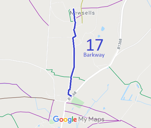
Annotated map reproduced courtesy of Googlemaps.
At the time of the 2021 Access Survey (13 Oct 21), several gates were across the path and it was signposted at each end. There were steps at the northern end.
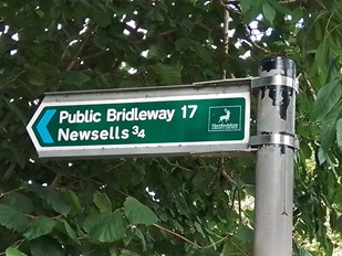
Sign at Barley Road
Photo: Karin Frapporti, 13 Oct 2021
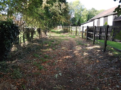
Continuing Generally Northwards
Photo: Karin Frapporti, 13 Oct 2021
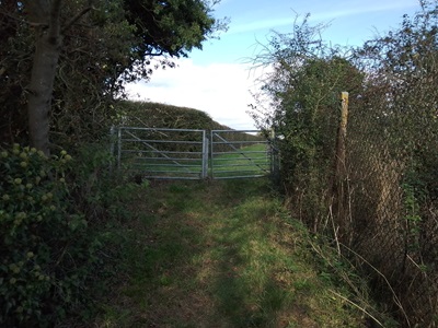
Gate at BW 18 junction
Photo: Karin Frapporti, 13 Oct 2021
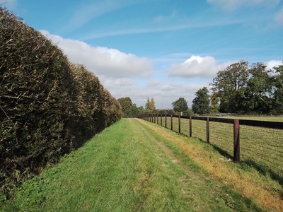
Continuing Generally Northwards
Photo: Karin Frapporti, 13 Oct 2021
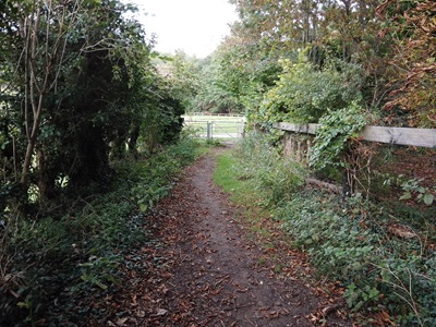
Continuing Generally Northwards
Photo: Karin Frapporti, 13 Oct 2021
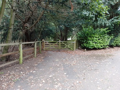
Continuing Generally Northwards
Photo: Karin Frapporti, 13 Oct 2021
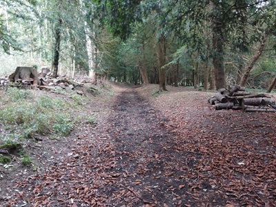
Continuing Generally Northwards
Photo: Karin Frapporti, 13 Oct 2021
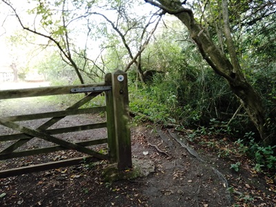
Continuing Generally Northwards
Photo: Karin Frapporti, 13 Oct 2021
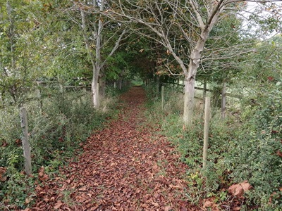
Continuing Generally Northwards
Photo: Karin Frapporti, 13 Oct 2021
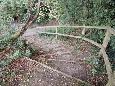
Continuing Generally Northwards
Photo: Karin Frapporti, 13 Oct 2021
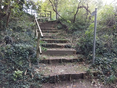
Looking South from road at Newsells
Photo: Karin Frapporti, 13 Oct 2021
