| Paths Greenways Bridleways Tracks | ||
| PG: OBJECTS: PROMOTION: Bayford 7 BW and Brickendon Liberty 3 BW - Devil's Lane | ||
| London Orbital Bridleroute: Anti-clockwise: White Stubbs Lane to Bayford 11. Clockwise: Broxbourne Woods Path, Brickendon Liberty 30. | H25 | |
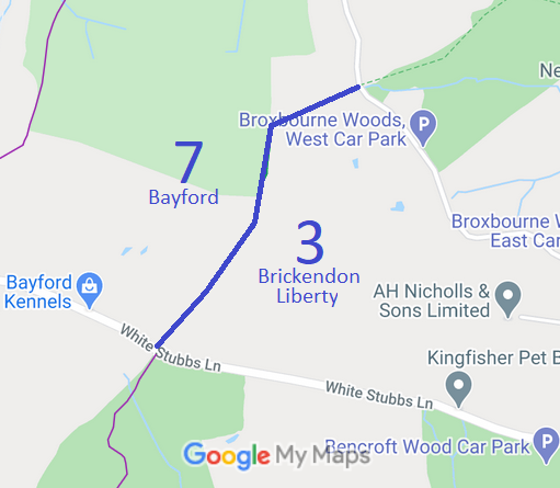
![]() Annotated map reproduced courtesy of Googlemaps. |
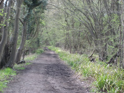
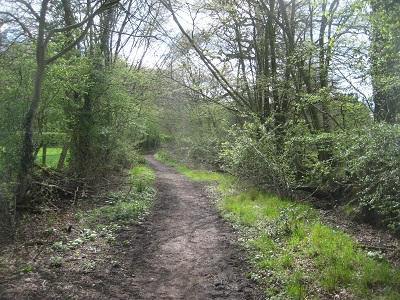
Devil's Lane runs from White Stubbs Lane (public road) to Brickendon Green (public road), opposite the Broxbourne Woods Path. It is a pleasant wide lane, currently recorded as Bayford 7 and Brickendon Liberty 3 bridleway.
At the time of the 2016 Access Survey (17 Apr 16), there were no gates or other obstructions on the path, and it was signposted 'public bridleway' at each end (but without destinations and distances, or the H25 patch). |
|||
![]() View from Brickendon Green Photo: Phil Wadey, 17 Apr 2016 |
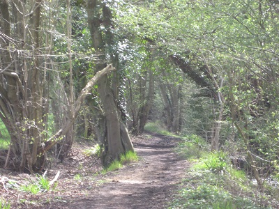
Continuing Southeastwards Photo: Phil Wadey, 17 Apr 2016 |
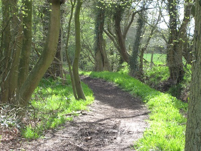
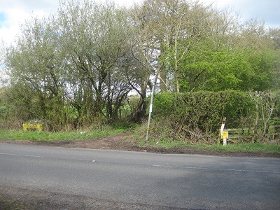
View from White Stubbs Lane Photo: Phil Wadey, 17 Apr 2016 |
As part of the British Horse Society's work to record paths before
Path Extinguishment Day,
it was spotted that this route had been declared to be a carriageway by an Act of Parliament in 1890. An application was accordingly made to change the record from bridleway to restricted bwyay.
This is a good example of a 'perfectly obvious path' that would be extinguished by the Countryside and Rights of Way Act 2000 if an application had not been made in time.
| ||||
| Legal History 4 Jul 1890: The Broxbourne and Hoddesdon Open Spaces and Recreation Grounds Act 1890 declared and defined this route to be public carriageway. (Carriageway 17.) 2 Feb 1953: Brickendon Liberty 3 and Bayford 7 were recorded as bridleways on the original definitive map and statement. DM sheet DM2-xx. 11 Mar 2016: Application to record route as restricted byway. HCC reference EH/439. |
Definitive Statement (4 Dec 2015)
Path: [Brickendon Liberty] 3. Status: BW. Definitive Map sheet: 71 Commences at junction with County Road by Starch Grove thence SW along Devils Lane to junction with County Road W of Calais Wood. Statement could usefully reference moiety with Bayford 7 Path: [Bayford] 7. Status: BW.
Definitive Map sheet: 71 Statement could usefully reference moiety with Brickendon Liberty 3 |
© 2023 Patchetts Green Bridleways Trust. File reference: EC533. HCC reference: EH/439.