
| PG: OBJECTS: PROMOTION: Brickendon Liberty 30 - Broxbourne Woods Route | |
| London Orbital Bridleroute: Anti-clockwise: HCC permissive Path, Bayford 7/Brickendon Liberty 3. Clockwise: Brickendon Liberty 24. | H25 |
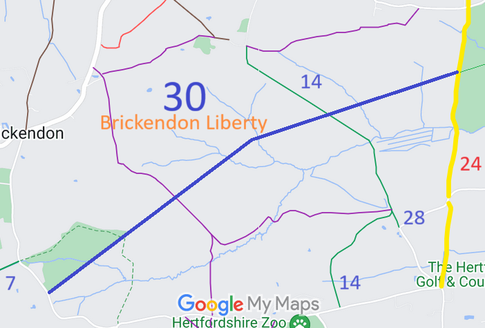 Annotated map reproduced courtesy of Googlemaps. |
This route starts from Brickendon Green (public road) and continues northeastwards to a junction with the permissive route on the County Council's land, then generally northeastwards across Brickendon Liberty 14 bridleway to Brickendon Liberty 24 restricted byway, opposite Hoddesdon 73 bridleway.
At the time of the 2025 Access Survey (2 Mar 25), the path was obstructed and poorly indicated. There was no council sign at the junction with Brickendon Green (public road). Some of the surfacing on the County Council section was worn away exposing the underlying membrane. At the edge of the Council's land, there was a fallen barbed wire fence, a ditch and bund. The path is then well defined and clear save for two locations where there are locked metal gates (spaces to side) and there is a barrier at the junction with Ermine Street (Brickendon Liberty 24 restricted byway). The route needs some waymark arrows to reinforce that it is a public bridleway. |
|||
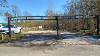 Junction with road Photo: Phil Wadey, 2 Mar 2025 |
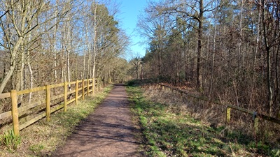 Continuing Northeastwards Photo: Phil Wadey, 2 Mar 2025 |
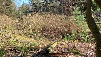 Fence, ditch and bund Photo: Phil Wadey, 2 Mar 2025 |
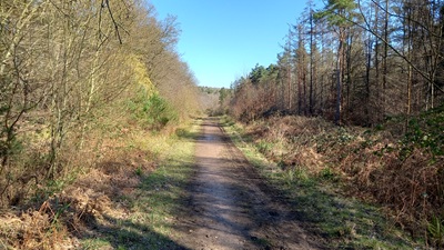 Continuing Northeastwards Photo: Phil Wadey, 2 Mar 2025 |
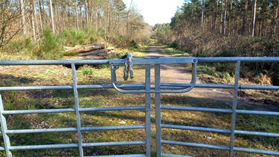 Continuing NE; Gate Photo: Phil Wadey, 2 Mar 2025 |
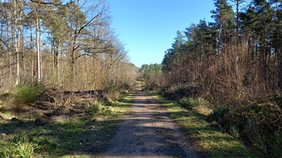 Continuing Northeastwards Photo: Phil Wadey, 2 Mar 2025 |
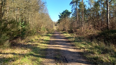 Continuing Northeastwards Photo: Phil Wadey, 2 Mar 2025 |
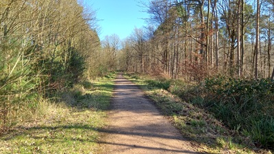 Continuing Northeastwards Photo: Phil Wadey, 2 Mar 2025 |
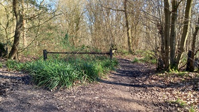 Barrier at Ermine Street junction Photo: Phil Wadey, 2 Mar 2025 |
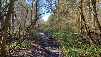 Looking SW from Ermine Street Photo: Phil Wadey, 2 Mar 2025 |
|
| |||||||||||||||||||||||||||||||||||||||||||||||||||
© 2024 Patchetts Green Bridleways Trust.
File reference: EC381.
HCC reference: EH/1.
