Paths Greenways Bridleways Tracks
 PG: OBJECTS: PROMOTION: Buntingford Little Lane
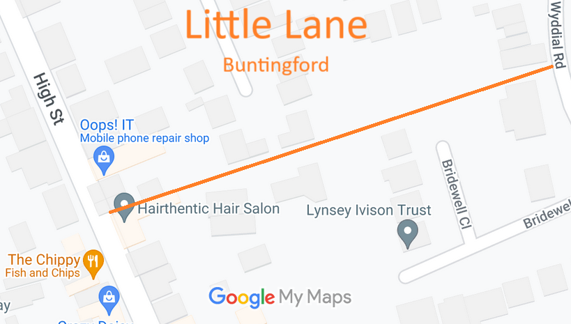
Map showing recorded Buntingford paths
Annotated map reproduced courtesy of Googlemaps.
This route goes from the High Street, Buntingford (public road) generally eastwards to Wyddial Road.

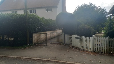
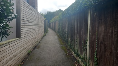
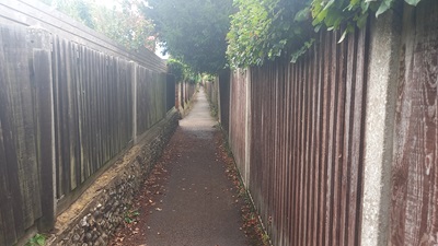
At the time of the 2024 Access Survey (8 Sep 24), there were no signposts indicating the public nature of the route. There was a bollard at the western end (High Street) and a staggered barrier at the eastern end. The path is rather narrow.
Photograph of Buntingford Little Lane
View from Wyddial Road
Photo: Phil Wadey, 8 Sep 2024
Photograph of Buntingford Little Lane
Continuing SW
Photo: Phil Wadey, 8 Sep 2024
Photograph of Buntingford Little Lane
Continuing SW
Photo: Phil Wadey, 8 Sep 2024
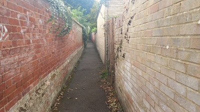
Photograph of Buntingford Little Lane
Continuing SW
Photo: Phil Wadey, 8 Sep 2024
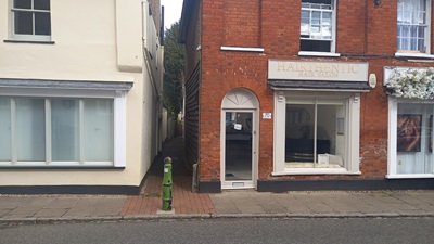
Photograph of Buntingford Little Lane
View NE from High Street
Photo: Phil Wadey, 8 Sep 2024

Legal History
2 Feb 1953: The route was not recorded on the original definitive map and statement. DM sheet DM1-10 (Herts 14 NW).
3 Sep 2024: Application for RB. HCC reference EH/546.
Application Process
Path Application Certificate Direction Inv Report Order Confirmed
EC1227 3 Sep 2024 EH/546 8 Sep 2024        
[This route is not yet recorded and so there is no definitive statement.]
Maintainability
This route is maintainable at the public expense because it was a highway before 1835.
Location Information
Postcode for SATNAV for anyone inspecting path: SG9 9AH.

© 2024 Patchetts Green Bridleways Trust. File reference: EC1227. HCC reference: EH/546.

Stats2