Paths Greenways Bridleways Tracks
 PG: OBJECTS: PROMOTION: Clothall 3 BW
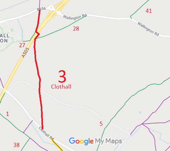
Map showing Clothall paths
Annotated map reproduced courtesy of Googlemaps.
This path runs from Wallington Road generally southwards to a junction with Clothall 27 bridleway, by bridge over the A505 to a junction with Clothall 28 bridleway, then continues southwards to cross Warren Lane (public road) and then to Clothall Road (public road).

At the time of the BHS 2022 Access Survey (19 Sep 22), there was a gate across the path, with a step over section for equestrians, at the northern end. Access to the step over section was hampered severely by the lack of cutting back of an adjacent tree. There is a bridge over the dual carriageway, and there are mounting blocks at each side of the bridge. The path is signposted at its northern end, at the junction with Clothall 28, at the junction with Warren Lane. The junction with Clothall Road has not yet been checked. The section just north of Warren Lane runs adjacent to an area where model aeroplanes are flown.
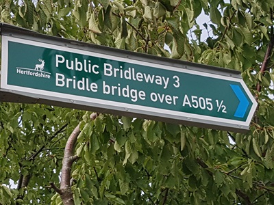
Photo of Clothall 3 bridleway Sign at Warren Lane
Photo: Phil Wadey, 19 Sep 2022
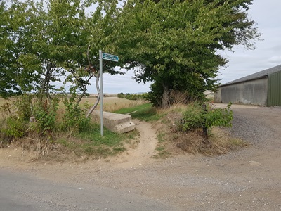
Photo of Clothall 3 bridleway View from Warren Lane
Photo: Phil Wadey, 19 Sep 2022
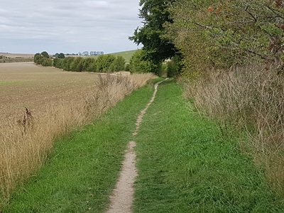
Photo of Clothall 3 bridleway Continuing northwards
Photo: Phil Wadey, 19 Sep 2022
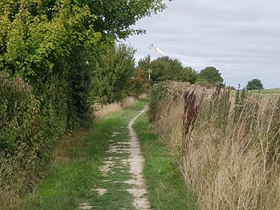
Photo of Clothall 3 bridleway Continuing northwards
Photo: Phil Wadey, 19 Sep 2022
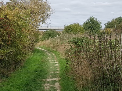
Photo of Clothall 3 bridleway Continuing northwards
Photo: Phil Wadey, 19 Sep 2022
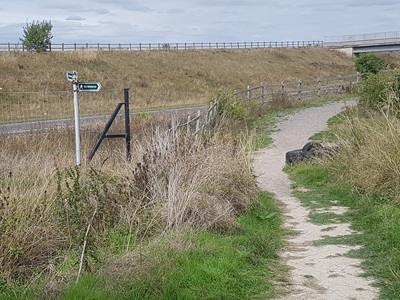
Photo of Clothall 3 bridleway Approaching Clothall 28
Photo: Phil Wadey, 19 Sep 2022
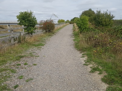
Photo of Clothall 3 bridleway Northwards, ramp to bridge
Photo: Phil Wadey, 19 Sep 2022
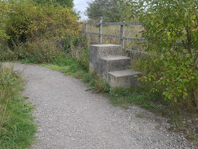
Photo of Clothall 3 bridleway Mounting blocks by bridge
Photo: Phil Wadey, 19 Sep 2022
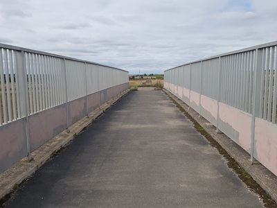
Photo of Clothall 3 bridleway Bridge over A505 Baldock Bypass
Photo: Phil Wadey, 19 Sep 2022
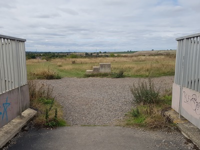
Photo of Clothall 3 bridleway Mounting block, Clothall 27 to left
Photo: Phil Wadey, 19 Sep 2022
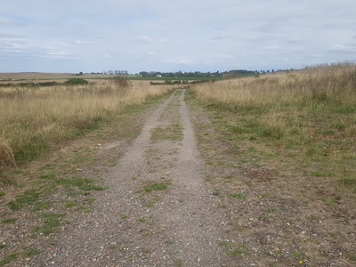
Photo of Clothall 3 bridleway Continuing northwards from bridge
Photo: Phil Wadey, 19 Sep 2022
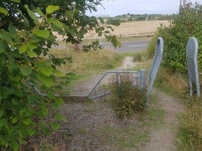
Photo of Clothall 3 bridleway Horse Stile near A505
Photo: Phil Wadey, 19 Sep 2022
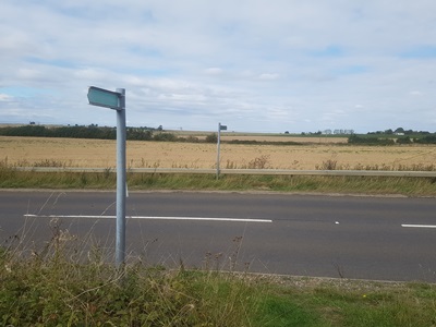
Photo of Clothall 3 bridleway Path ends on A505
Photo: Phil Wadey, 19 Sep 2022
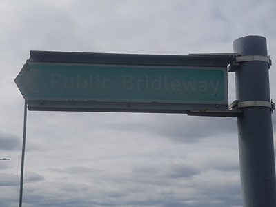
Photo of Clothall 3 bridleway 'Public Bridleway' sign at A505
Photo: Phil Wadey, 19 Sep 2022
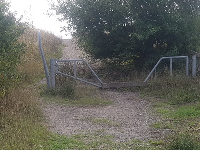
Photo of Clothall 3 bridleway View from A505
Photo: Phil Wadey, 19 Sep 2022

Legal History
1 Nov 1953: Clothall 3 was recorded as a bridleway on the original definitive map and statement. DM sheets DM4-16 and DM4-18.
31 Dec 1977: The route was shown as a bridleway on the special review draft map and statement. DM sheet SR-13.
12 Mar 2010: The Hertfordshire County Council (A505 Baldock Bypass) Legal Event Modification Order 2010 modified the definitive map and statement to show the changes made for the A505 bypass construction.
Definitive Statement (4 Dec 2015)
Path: [Clothall] 3.  Status: Bridleway.  Definitive Map sheet: 13
Commences from Baldock - Royston Road approx. 1,480 yds E of parish boundary thence S and SW to Bridle bridge at TL 2603 3419 at W edge of A505 (Baldock Bypass) continuing over Bridle bridge and SW following outer E edge of A505 (Baldock Bypass) for 100m to junction with BR28 at TL 2602 3407 then S to Quickswood Road to join Clothall Road at Windmill Hill.
Width: 3 metres between TL 2605 3430 and TL 2603 3419 3.2 metres between the parapets on the Bridle bridge 4 metres between TL 2608 3415 and TL 2602 3407
Limitations: None between TL 2605 3430 and TL 2602 3407

© 2024 Patchetts Green Bridleways Trust.

Stats2