Paths Greenways Bridleways Tracks
 PG: OBJECTS: PROMOTION: Colney Heath 54 BOAT - Hixberry Lane
Map showing Colney Heath 54
Annotated map reproduced courtesy of Googlemaps.
This byway runs from Hill End Lane (public road) generally southwards to Barley Mow Lane (public road).

At the time of the 2024 Access Survey (3 Mar 24), there were no gates across the path and it was signposted at each end. There were 'dragon's teeth' towards each of the route which may make it difficult for wide vehicles.
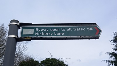
Photograph of Hixberry Lane, Colney Heath 54
Sign at Hill End Lane
Photo: Phil Wadey, 3 Mar 2023
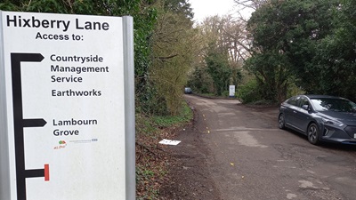
Photograph of Hixberry Lane, Colney Heath 54
Continuing Southeastwards
Photo: Phil Wadey, 3 Mar 2023
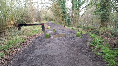
Photograph of Hixberry Lane, Colney Heath 54
Continuing Southeastwards
Photo: Phil Wadey, 3 Mar 2023
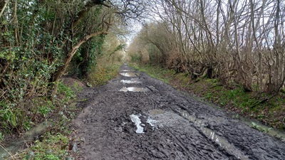
Photograph of Hixberry Lane, Colney Heath 54
Continuing Southeastwards
Photo: Phil Wadey, 3 Mar 2023
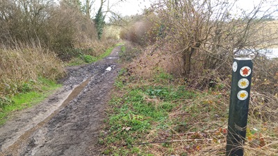
Photograph of Hixberry Lane, Colney Heath 54
Continuing SE (FP16 junction)
Photo: Phil Wadey, 3 Mar 2023
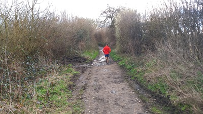
Photograph of Hixberry Lane, Colney Heath 54
Continuing Southwards
Photo: Phil Wadey, 3 Mar 2023
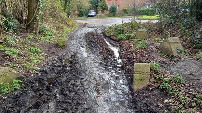
Photograph of Hixberry Lane, Colney Heath 54
Approaching Barley Mow Lane
Photo: Phil Wadey, 3 Mar 2023
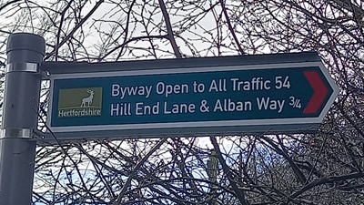
Photograph of Hixberry Lane, Colney Heath 54
Sign at Barley Mow Lane
Photo: Phil Wadey, 3 Mar 2023
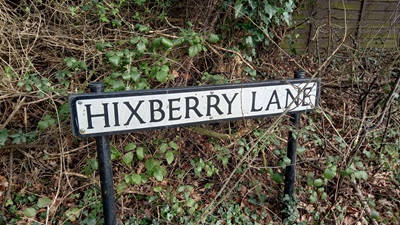
Photograph of Hixberry Lane, Colney Heath 54
Sign at Barley Mow Lane
Photo: Phil Wadey, 3 Mar 2023
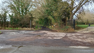
Photograph of Hixberry Lane, Colney Heath 54
View from Barley Mow Lane
Photo: Phil Wadey, 3 Mar 2023

Legal History
20 Jun 1953: Colney Heath 54 was recorded as a CRB (Carriage Road used as a Bridleway) on the original definitive map and statement. Sheet DM3-23.
2 May 2006: NERC exemption s.67(1) as route shown on DM as Byway Open to All Traffic.
Definitive Statement (4 Dec 2015)
Path: [Colney Heath] 54.  Status: BOAT.  Definitive Map sheet: 68
Commences at county road opposite FP28 thence NW past FP16 continuing NW to junction with Hill End Lane.
Maintainability
This route is maintainable at the public expense because it was a highway before 1835.
Location Information
Postcode for SATNAV for anyone inspecting path: AL4 0TZ (north end of path).

© 2024 Patchetts Green Bridleways Trust.

Stats2