Patchetts Green Bridleways Trust
 PG: OBJECTS: PROMOTION: Colney Heath Nightingale Lane
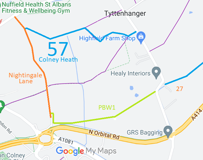
Map showing recorded Colney Heath paths
Annotated map reproduced courtesy of Googlemaps.
This route is shown in orange on the plan. It runs from The North Orbital Road (public road) southwards to Highfield Park Drive (public road). It is an unclassified road that is closed to motor vehicles (and the physical obstructions prevent carriages). It has junctions with Colney Heath PBW1 permissive bridleway to Highfield Lane, and Colney Heath 57 permissive bridleway, also leading to Highfield Lane, enabling a good circular ride to be made.

At the time of the BHS 2022 Access Survey (16 Aug 22), there were gates at each end with spaces to the side for walkers, riders and cyclists. There was no signage to indicate the public nature of the route.
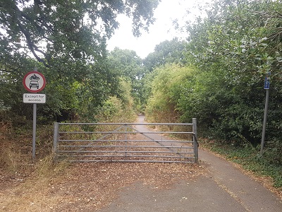
Photograph of Nightingale Lane, Colney Heath
Southern end looking northwards
Photo: Phil Wadey, 16 Aug 2022
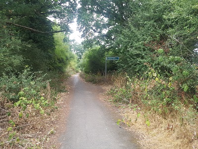
Photograph of Nightingale Lane, Colney Heath
Junction with Permissive BW
Photo: Phil Wadey, 16 Aug 2022
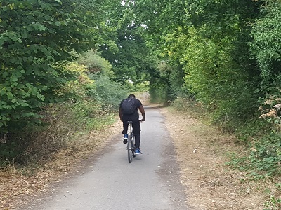
Photograph of Nightingale Lane, Colney Heath
Continuing northwards
Photo: Phil Wadey, 16 Aug 2022
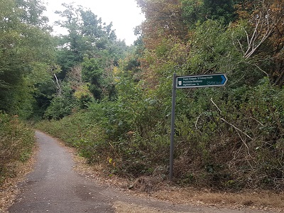
Photograph of Nightingale Lane, Colney Heath
Junction with Permissive BW 57
Photo: Phil Wadey, 16 Aug 2022
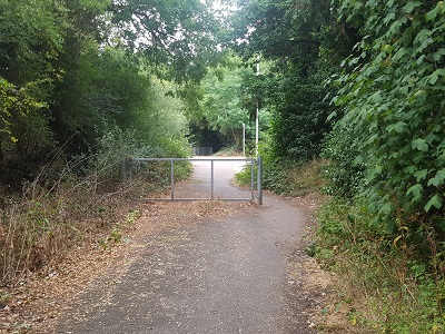
Photograph of Nightingale Lane, Colney Heath
Approaching northern end of path
Photo: Phil Wadey, 16 Aug 2022

Legal History
20 Jun 1953: The route was not recorded on the original definitive map and statement.
14 Apr 1997: The Council of the City and District of St Albans (Nightingale Lane, St Albans) (Prohibition of Motor Vehicles and No Entry from A414 to Nightingale Lane) Order 1997 made. It came into effect on 25 Apr 1977.
19 Aug 2022: The route is recorded in the List of Streets as Feature ID 6U413/10.
19 Aug 2022: Copy of TRO on route requested from HCC TRO team. Received 23 Aug 22.
28 Aug 2022: Application for Byway. HCC reference STA/180.

© 2022 Patchetts Green Bridleways Trust. File reference: EC1177. HCC reference: STA/180.

Stats2