Patchetts Green Bridleways Trust
 PG: OBJECTS: PROMOTION: Colney Heath Wilkins Green Lane
Map showing Wilkins Green Lane in orange
Annotated map reproduced courtesy of Googlemaps.
This section of Wilkins Green Lane runs from its junction with Springfield Road generally northeastwards to the public road near Wilkins Green Farm, Smallford. It is shown in orange on the map.

(The section of Wilkins Green Lane from Peggy's Path to this section is a public road that doesn't need recording.)
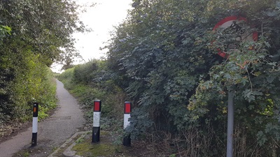
Photograph of Wilkins Green Lane
Bollards at South end
Photo: Phil Wadey, 1 Sep 2020
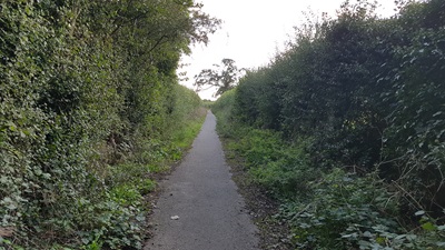
Photograph of Wilkins Green Lane
Heading North
Photo: Phil Wadey, 1 Sep 2020
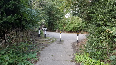
Photograph of Wilkins Green Lane
Bollards at North end
Photo: Phil Wadey, 1 Sep 2020
BHS PGBT If you have ridden or cycled the route, please download a user evidence form and then follow the instructions and return the form to us. It only takes a few minutes to fill in (the whole form fits on one side of a piece of A4 paper). If you have any other questions, please email us.

Legal History
23 Jan 1899: The Hertfordshire Highways (Main Roads) (No 1) Order 1899 declared this route to be a Main Road. The order was confirmed on 13 Mar 1899.
7 Aug 2020: We have asked the county council what status they think this route has, as it is not shown (yet) in the definitive map of rights of way.
23 Aug 2020: Application made to record route as a Byway. HCC reference STA/172.
Path Application Certificate Direction Inv Report Order Confirmed
EC1107 23 Aug 2020 HTM/172 1 Sep 2020        

© 2024 Patchetts Green Bridleways Trust. File reference: EC1107. HCC reference: STA/172.

Stats2