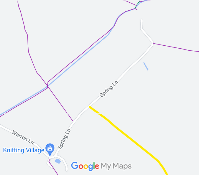
Annotated map reproduced courtesy of Googlemaps.
We need a volunteer to photograph this route for the Access and Riding Rights of Way Survey. It's easy - just take photographs (safely) when you use the path. Find out more!
 As part of the British Horse Society's work to record paths before
Path Extinguishment Day,
it was spotted that there was a small gap between the end of Spring Lane as recorded on the List of Streets and the start of Sottered 12 bridleway shown on the definitive map. The historical evidence showed a continuous route, so an application was made in 2013 to record Spring Lane, the apparent gap and Cottered 12 all as restricted byway.