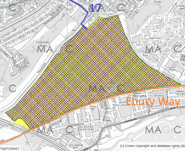
Annotated map reproduced courtesy of MAGIC.
If it does carry equestrian rights, it will provide a convenient link between Croxley Green 17 bridleway and the Ebury Way.
At the time of the BHS 2021 Access Survey (5 Sep 21), there were kissing gates at each end of the path that prevented equestrian use. Surfacing works were in place to create a wide track.
Common Land Number: CL36
Area: 415736 sq m
Equestrian Rights: s.193 LPA 1925
Former Urban District
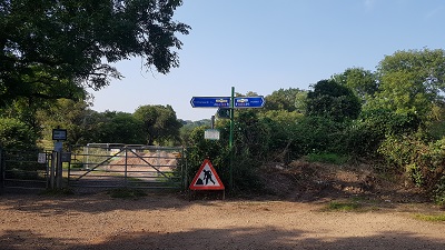
1. Southern entrance, from Ebury Way
Photo: Phil Wadey, 5 Sep 2021
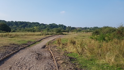
2. Path across moor
Photo: Phil Wadey, 5 Sep 2021
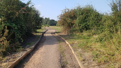
3. View along path under construction.
Photo: Phil Wadey, 5 Sep 2021
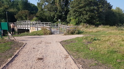
4. Approaching Northern Kissing Gate
Photo: Phil Wadey, 5 Sep 2021
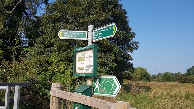
5. Sign at northern entrance to Common Moor
Photo: Phil Wadey, 5 Sep 2021
