
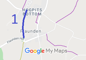
- Flaunden 1 BW from Hogpits Bottom to Flaunden Hill
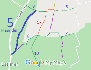
- Flaunden 5 BW from Flaunden Hill to Flaunden 9 BW
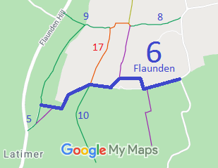
- Flaunden 6 BW from BW5, north of Martin's Top Farm to the public road
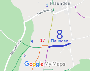
- Flaunden 8 BW from Flaunden 17 RB east to public road
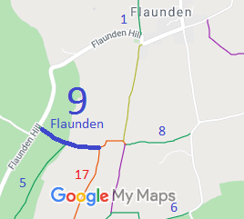
- Flaunden 9 from Flaunden 17 RB west to Flaunden Bottom (public road)
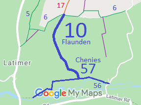
- Flaunden 10 and Chenies 57 BW, from RB 17 and BW 6 to Chenies 56 BW
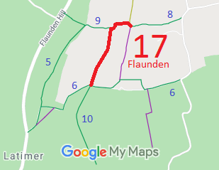
- Flaunden 17 RB, from Flaunden 8 and Smoothing Iron to BW 10 and BW 6
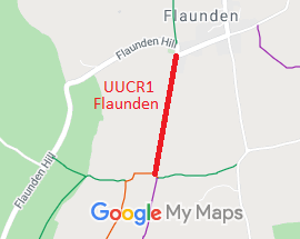
- Flaunden UCR1 Smoothing Iron (unclassified road)

Annotated maps reproduced courtesy of Googlemaps.


 Local Government: Formerly within Hemel Hempstead Rural District.
From 1974, part of Dacorum Borough.
Tithe (1838) DSA4/39/2.

