Paths Greenways Bridleways Tracks
 PG: OBJECTS: PROMOTION: Great Amwell 9 FP
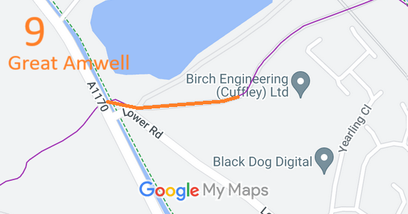
Map showing recorded Great Amwell paths
Annotated map reproduced courtesy of Googlemaps.
This route starts from Lower Road (public road) and continues generally northeastwards to the parish boundary.

At the time of the 2025 Access Survey (18 Aug 25), no gates were across the path and it was signposted (footpath) at the road junction. There was a gate at the junction with Ware Town 27, but this was fixed open, and had a gap to the side in any case.
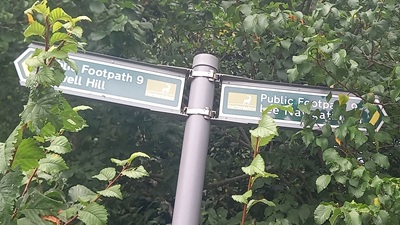
Photograph of Great Amwell 9 path
Sign at junction with Lower Road
Photo: Phil Wadey, 18 Aug 2025
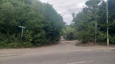
Photograph of Great Amwell 9 path
View from Lower Road
Photo: Phil Wadey, 18 Aug 2025
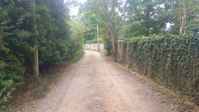
Photograph of Great Amwell 9 path
Continuing Eastwards
Photo: Phil Wadey, 18 Aug 2025
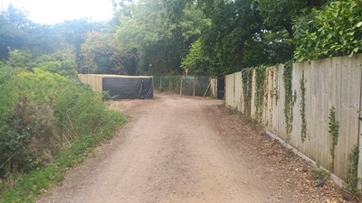
Photograph of Great Amwell 9 path
Continuing Eastwards
Photo: Phil Wadey, 18 Aug 2025
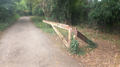
Photograph of Great Amwell 9 path
Open gate at Ware Town 27 junction
Photo: Phil Wadey, 18 Aug 2025

Legal History
1839: Great Amwell 9 is shown on the Great Amwell tithe map as unnumbered and not subject to an apportionment.
1903: Great Amwell 9 is shown as an inferior road on Bartholomew's Map. Map Sheet 25.
1910: Great Amwell 9 is shown with no valuation (white road) on the Inland Revenue Valuation Plan.
2 Feb 1953: Great Amwell 9 was recorded as a footpath on the original definitive map and statement. DM sheet DM2-26 (Herts 30 SW).
26 Jul 2025: Application for RB. HCC reference EH/556.
Application Process
Path Application Certificate Direction Inv Report Order Confirmed
EC1238 26 Jul 2025 EH/556 19 Aug 2025        
Definitive Statement (4 Dec 2015)
Path: [Great Amwell] 9.  Recorded Status: Footpath.  Definitive Map sheet: 60
Commences at county road opposite FP1 thence E to join FP27 (Ware Town) at parish boundary.
Maintainability
This route is maintainable at the public expense because it was a footpath or bridleway existing before 30 Apr 1959.

© 2025 Patchetts Green Bridleways Trust. File reference: EC1238.

Stats2