Patchetts Green Bridleways Trust
 PG: OBJECTS: PROMOTION: Hatfield Alban Way
Alban Way: West: Peggy's Path to Colney Heath 51 Byway. East: Ellenbrook Lane to Cavendish Way.
We're collecting user evidence now: Download user evidence form - Read the Instructions
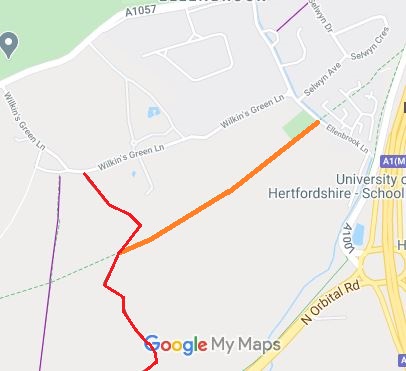
Map showing part of the Alban Way in Hatfield
Annotated map reproduced courtesy of Googlemaps.
The former railway line from St Albans to Hatfield is now converted to non-motorised use and called the Alban Way.

This section, shown orange on the plan, runs from the parish boundary and Colney Heath 51 byway (shown in red) generally northeastwards to Ellenbrook Lane, opposite another section which leads to Cavendish Way.
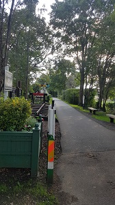
View from Ellenbrook Lane

View from Ellenbrook Lane
Photo: Phil Wadey, 1 Sep 2020
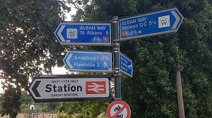
Sign at Ellenbrook Lane

Sign at Ellenbrook Lane
Photo: Phil Wadey, 1 Sep 2020
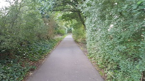
Looking SW along path

Looking SW along path (1)
Photo: Phil Wadey, 1 Sep 2020
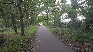
Looking SW along path

Looking SW along path (2)
Photo: Phil Wadey, 1 Sep 2020

Sign at byway junction

Sign at junction with Byway 51
Photo: Phil Wadey, 1 Sep 2020

If you have walked, ridden or cycled the route, please download a user evidence form and then follow the instructions and return the form to us. It only takes a few minutes to fill in (the whole form fits on one side of a piece of A4 paper). If you have any other questions, please email us.

© 2020 Patchetts Green Bridleways Trust. File Reference: EC1119