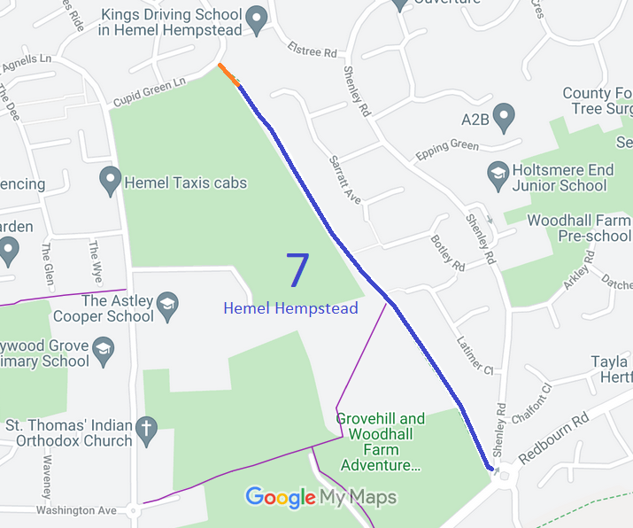
Annotated map reproduced courtesy of Googlemaps.
At the time of the BHS 2021 Access Survey (12 Sep 21), no gates were across the path and it was signposted at each end. However, there was one broken branch across the path which needs clearing before it falls on someone, and the sign at the southern end was so faded it could only just be read.
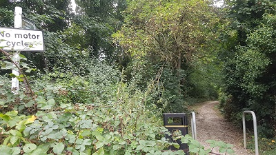 1. Southern end of path
Photo: Phil Wadey, 12 Sep 2021
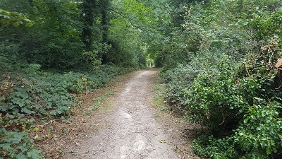 2. Heading North West
Photo: Phil Wadey, 12 Sep 2021
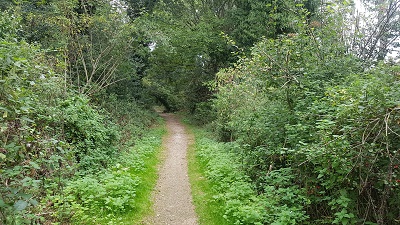 3. Heading North West
Photo: Phil Wadey, 12 Sep 2021
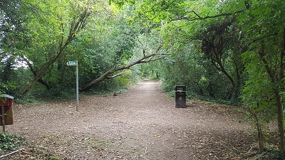 4. Heading North West
Photo: Phil Wadey, 12 Sep 2021
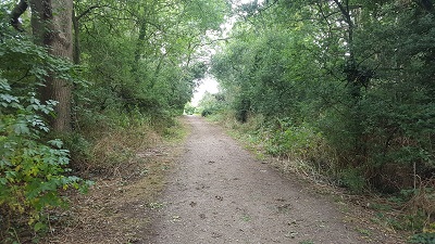 5. Approaching NW end of path
Photo: Phil Wadey, 12 Sep 2021
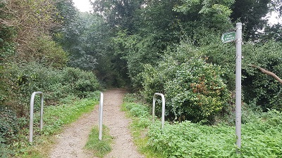 6. View from Northern end of path
Photo: Phil Wadey, 12 Sep 2021
