Paths Greenways Bridleways Tracks
 PG: OBJECTS: PROMOTION: Hemel Hempstead 72 BOAT
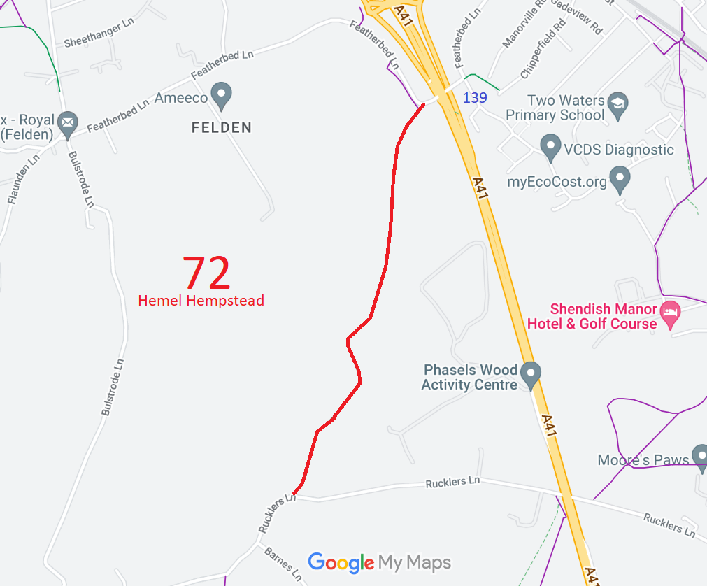
Map showing recorded Hemel Hempstead paths
Annotated map reproduced courtesy of Googlemaps.
This path runs from Featherbed Lane (public road) to Rucklers Lane (public road).

We need a volunteer to photograph this route for this year's Access and Riding Rights of Way Survey. It's easy - just take photographs (safely) when you use the path. Find out more!
Hemel Hempstead 72 photo
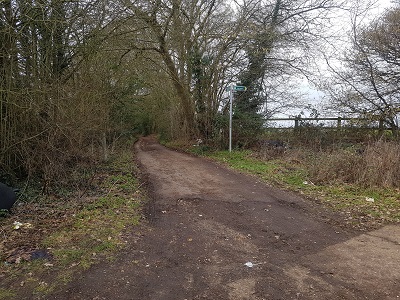
View from Featherbed Lane
Photo: Phil Wadey, 4 Feb 2023
Hemel Hempstead 72 photo
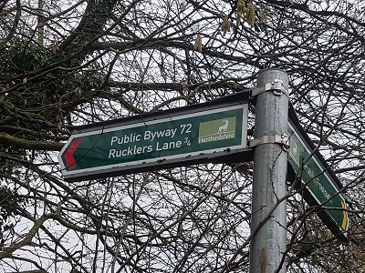
Sign at Featherbed Lane end
Photo: Phil Wadey, 4 Feb 2023

Legal History
8 Feb 1838: Kings Langley moiety shown as half a road on the tithe apportionment for Kings Langley, plot 79.
13 Oct 2000: The Hertfordshire County Council (A41 Berkhamsted and Kings Langley Bypasses) Legal Event Modification Order 2000 recorded the change to this route caused by the A41 works orders.
Definitive Statement (4 Dec 2015)
Path: [Hemel Hempstead] 72.  Status: Byway Open to All Traffic  Definitive Map sheet: 66
Commences from Featherbed Lane (at TL 0508 0498) thence SW and S to borough boundary thence following boundary to Rucklers Lane.

The DM sheet number should read 74 and 75.

© 2024 Patchetts Green Bridleways Trust.

Stats2