Paths Greenways Bridleways Tracks
 PG: OBJECTS: PROMOTION: Kings Walden 49 FP and applied-for restricted bwyay
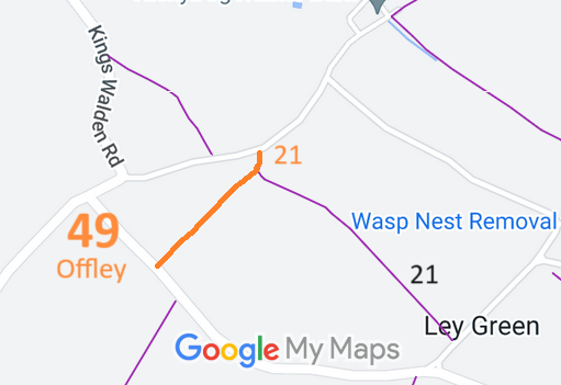
Map showing recorded Kins Walden paths
Annotated map reproduced courtesy of Googlemaps.
This page is still being prepared.

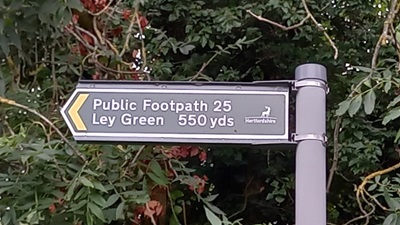
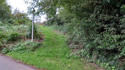
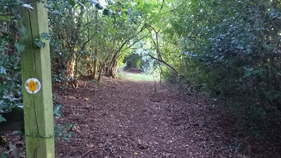
At the time of the BHS 2023 Access Survey (26 Sep 23), the path was unobstructed. It was signposted at each end with footpath signs.
Photograph of Kings Walden 49
Sign at Northern End
Photo: Phil Wadey, 26 Sep 2023
Photograph of Kings Walden 49
View from Road, Northern End
Photo: Phil Wadey, 26 Sep 2023
Photograph of Kings Walden 49
Continuing South Westwards
Photo: Phil Wadey, 26 Sep 2023
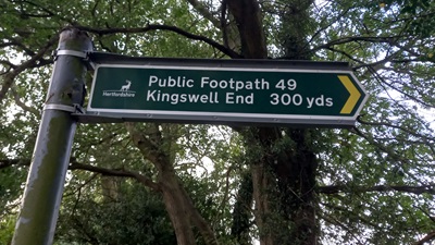
Photograph of Kings Walden 49
Sign at Southern End
Photo: Phil Wadey, 26 Sep 2023
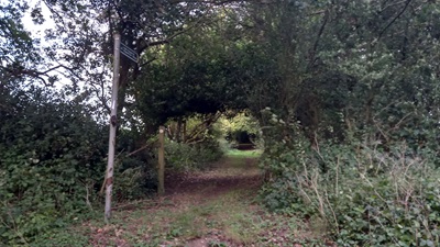
Photograph of Kings Walden 49
View from Road, Southern End
Photo: Phil Wadey, 26 Sep 2023

Legal History
26 Jan 2020: Application for restricted byway status. HCC reference NH/321.
Definitive Statement (4 Dec 2015)
Path: [Kings Walden] 49.  Recorded Status: Footpath.  Definitive Map sheet: 28
Commences from county road E of Kingswell End thence SW to join Offley - Kings Walden Road.

© 2023 Patchetts Green Bridleways Trust. File reference: EC703. DOBBIN reference HER-0124. HCC reference: NH/321.

Stats2