Paths Greenways Bridleways Tracks
 PG: OBJECTS: PROMOTION: Northchurch 57
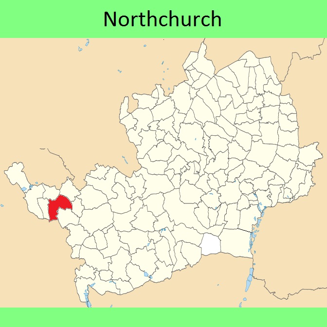
Map showing recorded Hertfordshire paths
Annotated map reproduced courtesy of Googlemaps.
This page is still being prepared.

We need a volunteer to photograph this route for the Access and Riding Rights of Way Survey. It’s easy - just take photographs (safely) when you use the path. Find out more!

Legal History
Definitive Statement (4 Dec 2015)
Path: [Northchurch] 57.  Status: Bridleway.  Definitive Map sheet: 65
Commences on Golf Club Road at TL 0034 0896 thence NW for approx 20m to TL 0033 0897 and W for approx 100m to parish boundary at TL 0022 0897 thence NW along parish boundary for approx 180m to junction with county road New Road at TL 0015 0913. Recommences at junction with N side of New Road at TL 0016 0914 thence generally N for approx 70m to a junction with BR56 at TL 0016 0921.
Width: Minimum 3m
Limitations: None
Maintainability
This route is maintainable at the public expense because it was a highway before 1835.
This route is maintainable at the public expense because it was a footpath or bridleway existing before 30 Apr 1959.
This route is maintainable at the public expense by virtue of s.49(1) Countryside and Rights of Way Act 2000. [RB converted from RUPP]
This route is maintainable at the public expense by virtue of para 7 of Sch 3 to the Countryside Act 1968. [Converted from RUPP]
This route is maintainable at the public expense by virtue of s.54(4) Wildlife and Countryside Act 1981. [Converted from RUPP]
This route is maintainable at the public expense by virtue of s.36(2)(d) Highways Act 1980 as it was created by a Public Path Creation Agreement. [Dedicated by PPCA]

© 2026 Patchetts Green Bridleways Trust.

Stats2