| Patchetts Green Bridleways Trust | ||
| PG: OBJECTS: PROMOTION: Ridge 21 (part) - Metropolitan Common | ||
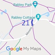
![]() Annotated map reproduced courtesy of Googlemaps. |
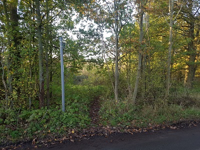
![]() View from Mimms Lane Photo: Phil Wadey, 13 Nov 2022 |
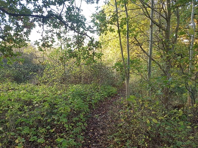
![]() Path in woods Photo: Phil Wadey, 13 Nov 2022 |
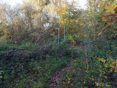
![]() Approaching Packhorse Lane Photo: Phil Wadey, 13 Nov 2022 |
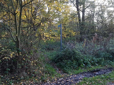
![]() View from Packhorse Lane Photo: Phil Wadey, 13 Nov 2022 |
| This short section of path runs from Mimms Lane to Packhorse Lane. It cuts off the corner caused by staying on the metalled road.
Although the signage on the path says 'footpath', this land is a metropolitan common and so carries rights of access for air and exercise for those on foot and on horseback. At the time of the BHS 2022 Access Survey (13 Nov 22), there were no obstructions to riders' use of the path. |
||||
| Legal History 20 Jun 1953: Recorded as footpath on the original definitive map and statement. 14 Nov 1995: Application to record section as a bridleway. HCC reference HTM/79. 7 Dec 2018: Additional application to record section as a bridleway. 14 Jan 2019: Secretary of State directed Hertfordshire County Council to make a decision on the application by 14 Jan 2020. 14 Sep 2022: Hertfordshire County Council investigation report published. |
Definitive Statement (4 Dec 2015)
Path: [Ridge] 21. Recorded Status: FP. Definitive Map sheet: 78 Commences at junction with county road S of Rabley Park thence S across county road past E side of Ravenscroft Farm thence SE past W side of St Margaret's Church to junction with county road E of Ridge Farm and SW of cross-roads. |
© 2022 Patchetts Green Bridleways Trust. File reference: EC135 (Ridge 21).