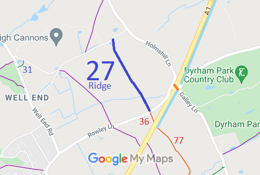
Annotated map reproduced courtesy of Googlemaps.
The path can become very wet during the winter, so please use it with care and consideration.
Also shown on the sketch map are the bridleway bridge over the A1 (in orange), two other restricted byways that can be ridden (red) and the tracks alongside the A1 which the Highways Agency have constructed in the early 2000s (light blue).
At the time of the BHS 2022 Access Survey (3 Jul 22), there were no gates were across the path. Bollards were in place, but there was sufficient space between them for walkers, riders and cyclists. The route was signposted at each end although the northern sign did not mention the destination or distance. The bridge was in good condition. There has been recent re-surfacing work by the county council. This appeared during the survey to be bedding in successfully.
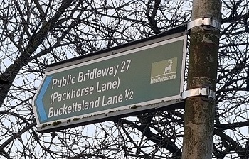
Sign at southern end, junction with Rowley Lane
Photo: Phil Wadey, 19 Dec 2020
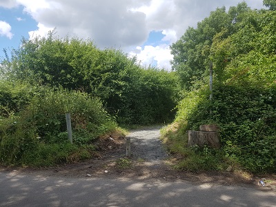
Looking North from Rowley Lane
Photo: Phil Wadey, 3 Jul 2022
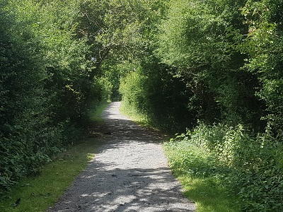
Continuing northwards
Photo: Phil Wadey, 3 Jul 2022
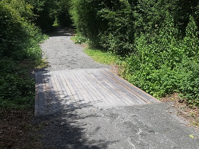
Good bridge across route
Photo: Phil Wadey, 3 Jul 2022
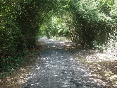
Continuing northwards
Photo: Phil Wadey, 3 Jul 2022
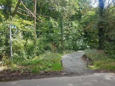
Looking Southwards from Bucketsland Lane
Photo: Phil Wadey, 3 Jul 2022

 This route is actually a very old
road, and the bulk of the evidence relating to the route was in the form of
old maps and records. Unfortunately, a local resident didn't want the route
to be reopened and entered objections, so a public inquiry had to be held. At the
inquiry the inspector determined that the route was a bridleway.
