Paths Greenways Bridleways Tracks
 PG: OBJECTS: PROMOTION: NORTH HERTS: Royston
Please let us know if you ride a route that is not yet listed. Not all paths have numbers. Why not help with this year's Access and Riding Rights of Way survey?
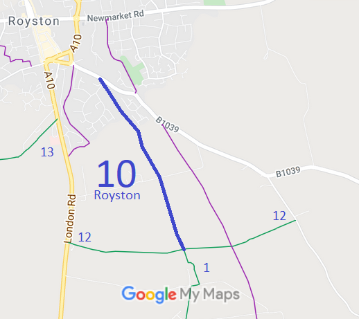
  • Royston 10 BW, Barkway Road to Royston 12 and Reed 1 bridleways
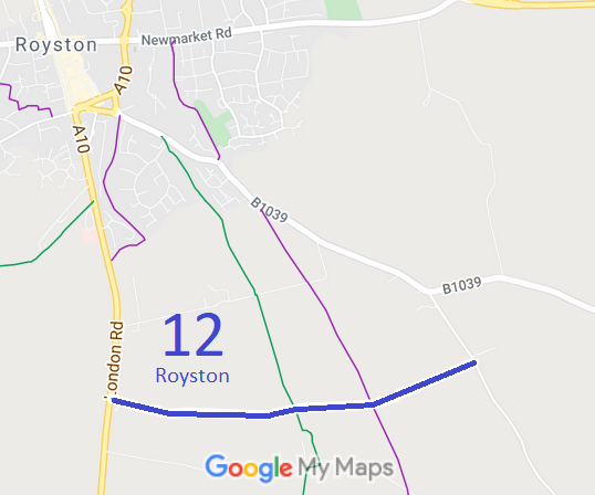
  • Royston 12 BW, London Road to Barkway Road
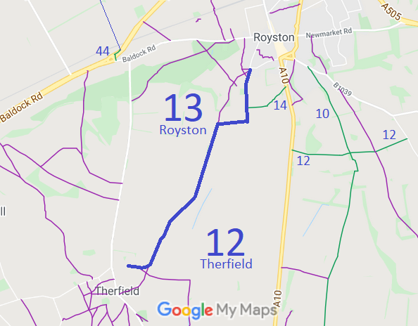
  • Royston 13 and Therfield 12 BW, from Briary Lane, Royston, to unnamed road, Therfield
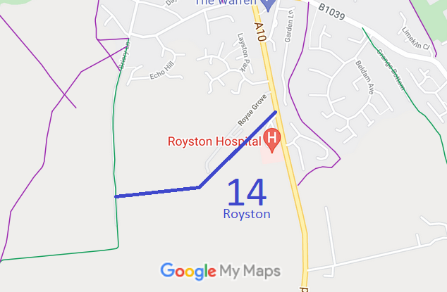
  • Royston 14 BW, from Royston 13 BW to London Road
Royston
Map showing Royston 10 Map showing Royston 12 Map showing Royston 13 Map showing Royston 14
Annotated maps reproduced courtesy of Googlemaps.

NPR Initial DM4 Tithes 1910 Finance Act Valuation Map Local Government: Formerly within Royston Urban District. From 1974, part of North Hertfordshire District.
Tithe (1851) DSA4/82/2.

© 2024 Patchetts Green Bridleways Trust. Parish boundary outline contains Ordnance Survey data © Crown copyright and database right / CC BY-SA

Stats2