| Paths Greenways Bridleways Tracks | ||
| PG: OBJECTS: PROMOTION: Royston 14 | ||
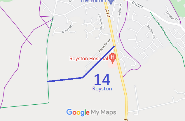
![]() Annotated map reproduced courtesy of Googlemaps. |
The route starts on the A10 London Road (public road) and continues generally southwestwards then westwards to end on Royston 13 bridleway.
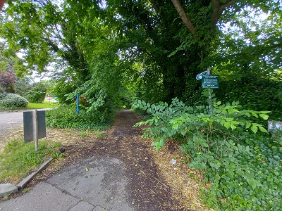
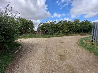
At the time of the 2023 Access Survey (23 Jul 23), the path was clear and unobstructed (save perhaps for a slight encroachment on the northern side). There was a council bridleway sign at the junction with London Road and waymark arrows at the junction with Royston 13 bridleway. |
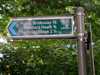
Sign at A10 London RoadPhoto: Phil Wadey, 23 Jul 23 |
||
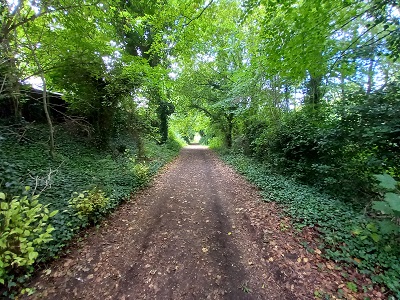
View from A10 London RoadPhoto: Phil Wadey, 23 Jul 23 |
Continuing SouthwestwardsPhoto: Phil Wadey, 23 Jul 23 |
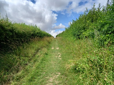
Continuing WestwardsPhoto: Phil Wadey, 23 Jul 23 |
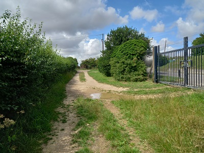
Approaching Royston 13 BWPhoto: Phil Wadey, 23 Jul 23 |
| Legal History 1 Nov 1953: Royston 13 was recorded as a bridleway on the original definitive map and statement. s DM sheets DM4-6 (Herts 4 NE), DM4-8 (Herts 4 SE). 31 Dec 1977: Royston 13 was shown as a bridleway on the special review draft map and statement. DM sheet SR-4 (TL34SE), SR-7 (TL34NW) and SR-8 (TL33NE). 7 Oct 1999: Application to record width (EHFS). HCC reference NH/118. 17 Jan 2017: Application to record as restricted byway (BHS). HCC reference NH/118. |
Definitive Statement (4 Dec 2015)
Path: [Royston] 14. Status: Bridleway. Definitive Map sheets: 4 and 8 Commences from London Road S of Royse Grove thence SW parallel to same past pumping station for approx 387 yards thence W to join BR13. |
© 2023 Patchetts Green Bridleways Trust. File reference: EC293. HCC reference: NH/118.