Paths Greenways Bridleways Tracks
 PG: OBJECTS: PROMOTION: Sarratt 79 and Watford Borough 30 BW - Whippendell Woods track
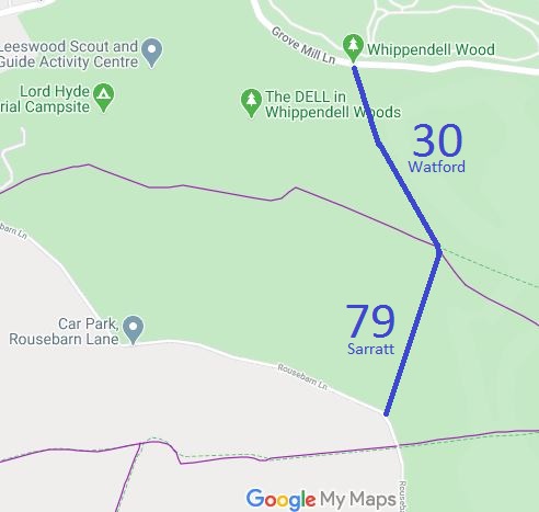
Map showing Sarratt 79 and Watford 30 bridleway
Annotated map reproduced courtesy of Googlemaps.
This route is a bridleway linking Grove Mill Lane (public road) to Rousebarn Lane (public road). The bridleway forms part of the Whippendell Woods Circular Ride.

It runs through Whippendell Woods and was created through an initiative by Hertfordshire County Council and Watford Borough Council. There had previously been some permissive equestrian use but this is a permanent right now that the route has been dedicated by Watford Borough Council.

At the time of the 2024 Access Survey (25 Feb 24), the path could be used throughout. There were horse stiles in two places, but both had gaps to the side rendering them redundant. There are several signs indicating that horse access is restricted to the orbital track. There are public bridleway signs where the route meets the public road.
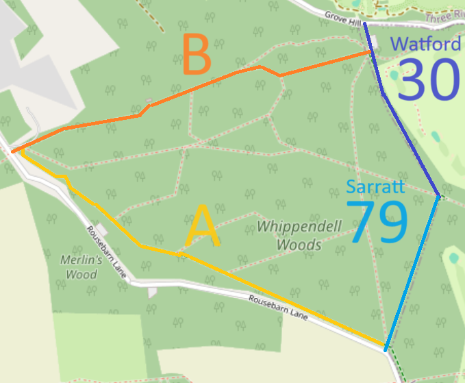
Map showing Whippendell Woods Circular Ride
Annotated map reproduced courtesy of Googlemaps.
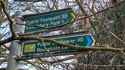
Photograph of Watford 30 bridleway
Sign on Grove Mill Lane
Photo: Phil Wadey, 25 Feb 2024
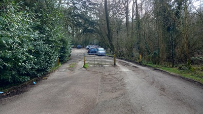
Photograph of Watford 30 bridleway
View from Grove Mill Lane
Photo: Phil Wadey, 25 Feb 2024
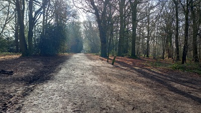
Photograph of Watford 30 bridleway
Continuing southeastwards
Photo: Phil Wadey, 25 Feb 2024
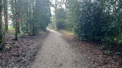
Photograph of Watford 30 bridleway
Continuing southeastwards
Photo: Phil Wadey, 25 Feb 2024
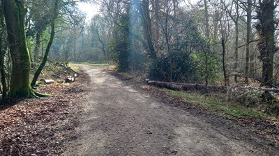
Photograph of Watford 30 bridleway
Continuing SE to Sarratt 79
Photo: Phil Wadey, 25 Feb 2024
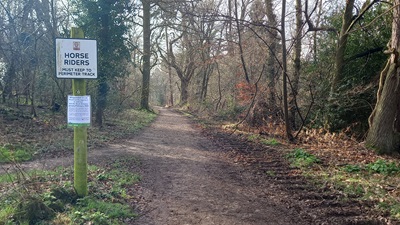
Photograph of Sarratt 79 bridleway
View SW from Watford 30
Photo: Phil Wadey, 25 Feb 2024
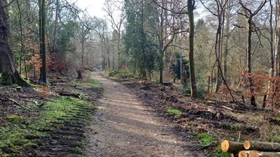
Photograph of Sarratt 79 bridleway
Continuing southwestwards
Photo: Phil Wadey, 25 Feb 2024
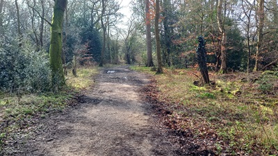
Photograph of Sarratt 79 bridleway
Continuing southwestwards
Photo: Phil Wadey, 25 Feb 2024
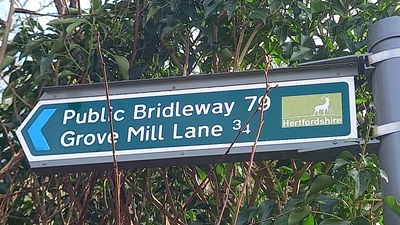
Photograph of Sarratt 79 bridleway
Sign on Rousebarn Lane
Photo: Phil Wadey, 25 Feb 2024
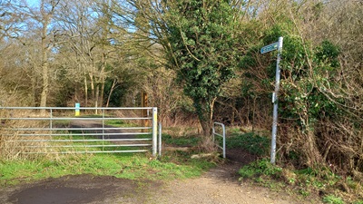
Photograph of Sarratt 79 bridleway
View from Rousebarn Lane
Photo: Phil Wadey, 25 Feb 2024

Legal History
5 Jul 2012: The Whippendell Woods Creation Agreement came into operation.
21 Sep 2012: The Hertfordshire County Council (Watford Borough 30 and Sarratt 79) Legal Event Modification Order 2012 added this route to the definitive map.
25 Feb 2024: Overgrowth of Abbots Langley 45 sign at eastern end reported to HCC, reference 401003990258.
Definitive Statement (4 Dec 2015)
Path: [Sarratt] 79.  Status: BW.  Definitive Map sheet: 83.
Commences at a junction with Rousebarn Lane at TQ 0810 9733 and runs generally N through Whippendell Wood for approx 450m to the parish boundary at TQ 0824 9776 and continues for approx 10m to a junction with Watford Borough BR30 at TQ 0824 9777. The last 10m is in Watford Borough.
Width: 4m.
Limitations: Bollards, barriers or similar structure conforming to British Standard specification at TQ 0810 9733 to exclude motor vehicles provided that there shall always be a gap of at least 1.53m to allow the free passage of lawful users.

Path: [Watford Borough] 30.  Status: FP/BW.  Definitive Map sheet: 83.
Commences as a FP at junction with Rickmansworth Road thence NW through Cassiobury Park to footbridge over River Gade, thence over bridge to cartbridge crossing the Grand Union Canal to fieldgate, thence continues over canal where it meets FP31, follows well defined track for approximately 40 yards then forks left past 'Old Gravel Pit' path continues across Golf Course to east corner of Whippendell Wood and a junction with Sarratt BR79 at TQ 0824 9777. Continues as a BR generally N for approx 10m to a junction with Sarratt FP16 at TQ 0823 9778, then generally N for approx 530m to a junction with Grove Mill Lane at TQ 0800 9826.
Width: 4m between TQ 0824 9777 and TQ 0800 9826.
Limitations: Bollards, barriers or similar structure conforming to British Standard specification at TQ 0801 9825 and TQ 0803 9819 to exclude motor vehicles provided that there shall always be a gap of at least 1.53m to allow the free passage of lawful users.

Maintainability
This route is maintainable at the public expense by virtue of s.36(2)(d) Highways Act 1980 as it was created by a Public Path Creation Agreement. [Dedicated by PPCA]
Location Information
Postcode for SATNAV for anyone inspecting path: WD3 4NA (Grove Mill Lane end, Car Park).

© 2024 Patchetts Green Bridleways Trust. File reference: EC781.

Stats2