
| PG: OBJECTS: PROMOTION: Stevenage 103 | |
| Stevenage Horse and Pony Route: Anti-clockwise: Sainsbury's Link and A602 underpass. Clockwise: Pegasus Crossing, Verge to Stevenage 22. | SHPR |
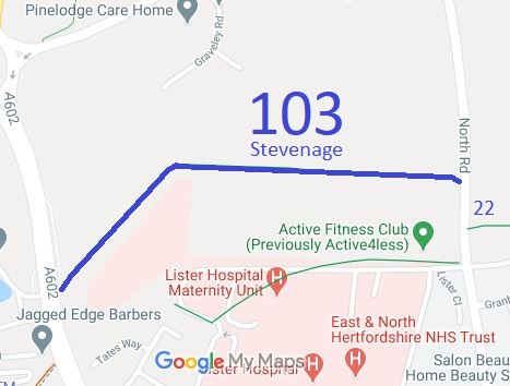 Annotated map reproduced courtesy of Googlemaps. |
This section of the Stevenage Horse and Pony Route runs from the Hitchin Road at Corey's Mill to North Road and a new (2025) Pegasus Crossing.
At the time of the 2025 Access Survey (9 Feb 25), the path was unobstructed (although some width encroachment was present). It was only signed at one end.
|
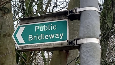 Sign at Western End Photo: Phil Wadey, 9 Feb 2025 |
||
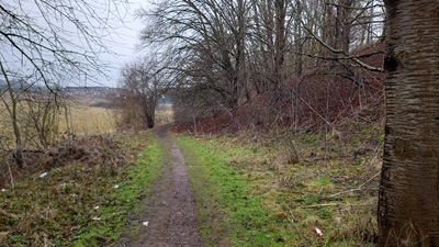 Leaving Hitchin Road Photo: Phil Wadey, 9 Feb 2025 |
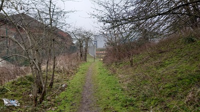 Continuing eastwards Photo: Phil Wadey, 9 Feb 2025 |
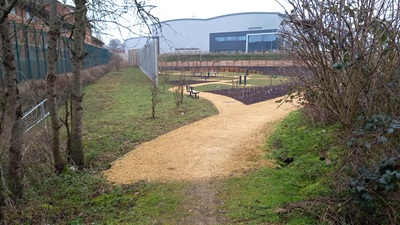 Change in surfacing Photo: Phil Wadey, 9 Feb 2025 |
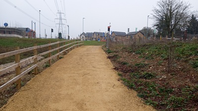 Continuing eastwards Photo: Phil Wadey, 9 Feb 2025 |
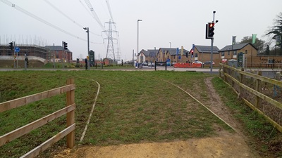 Approaching Pegasus Crossing Photo: Phil Wadey, 9 Feb 2025 |
 Developers wanted to extinguish the part of Stevenage 90 BW that fell across their land. The BHS, with support from the OSS and CTC, objected on the grounds that no alternative route was provided. A public path creation agreement was signed to create Stevenage 103 BW when the Stevenage 90 extinguishment order was confirmed. This was a significant gain for the recording and legal protection of the Stevenage Horse and Pony Route. | ||||
|
| |||||||||
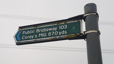
Sign at junction with North Road |
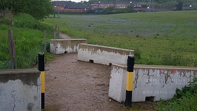
Vehicle inhibitors at western end of path, near North Road |
© 2025 Patchetts Green Bridleways Trust.
File reference: EC192.
