Paths Greenways Bridleways Tracks
 PG: OBJECTS: PROMOTION: Stevenage Chells Lane (links Stevenage 104 to Stevenage 107)
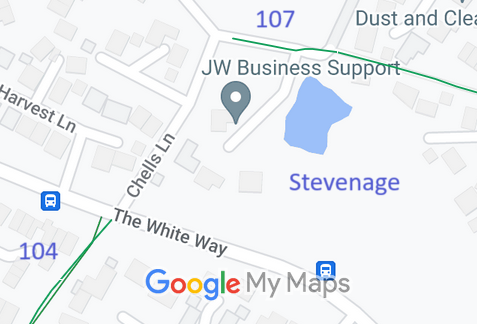
Map showing recorded Parish paths
Annotated map reproduced courtesy of Googlemaps.
This public road starts from The White Way (public road) opposite Stevenage 104 bridleway (Lanterns Lane) and continues northwestwards then eastwards to join Stevenage 107 bridleway.

At the time of the BHS 2023 Access Survey (3 Sep 23), the route was unobstructed.
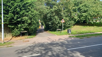
Photograph of Chells Lane, Stevenage
View from Stevenage 104 BW
Photo: Phil Wadey, 3 Sep 23
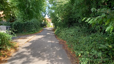
Photograph of Chells Lane, Stevenage
Continuing northwards
Photo: Phil Wadey, 3 Sep 23
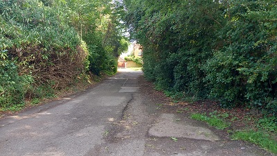
Photograph of Chells Lane, Stevenage
Continuing northwards
Photo: Phil Wadey, 3 Sep 23
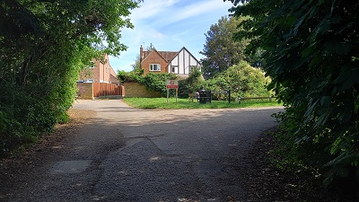
Photograph of Stevenage 107
East along Stevenage 107 BW
Photo: Phil Wadey, 3 Sep 23
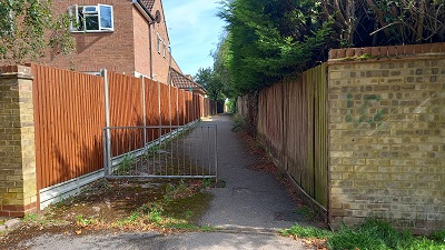
Photograph of Stevenage 107
East along Stevenage 107 BW
Photo: Phil Wadey, 3 Sep 23

Legal History

© 2023 Patchetts Green Bridleways Trust.

Stats2