Paths Greenways Bridleways Tracks
 PG: OBJECTS: PROMOTION: St Paul's Walden 37 BOAT Nortonstreet Lane
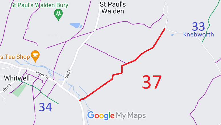
Map showing recorded St Paul's Walden paths
Annotated map reproduced courtesy of Googlemaps.
This route starts on Codicote Road and runs generally northeastwards to the public road near East Hall Farmhouse.

We need a volunteer to photograph this route for this year's Access and Riding Rights of Way Survey. It's easy - just take photographs (safely) when you use the path. Find out more!
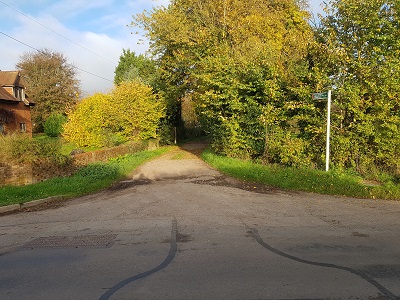
Photograph of St Paul's Walden 37 View from Codicote Lane
Photo: Phil Wadey, 13 Nov 2022
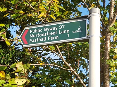
Photograph of St Paul's Walden 37 Sign at Codicote Lane
Photo: Phil Wadey, 13 Nov 2022

Legal History
1938: The route is shown as a green lane (green dots) on the Hertfordshire County Council ROW survey. Map Hitchin Rural West 15 (Herts 20 NW).
Definitive Statement (4 Dec 2015)
Path: [St Paul's Walden] 37.  Status: Byway Open to All Traffic.  Definitive Map sheets: 28 and 29
Commences from Whitwell - Welwyn Road on SE side of Rose Cottages thence NE along Norton Street Lane to join St Pauls Walden - Rusling End Road S of Easthall Farm.

© 2024 Patchetts Green Bridleways Trust.

Stats2