Patchetts Green Bridleways Trust
 PG: OBJECTS: PROMOTION: St Stephen 65 - Moor Mill Lane
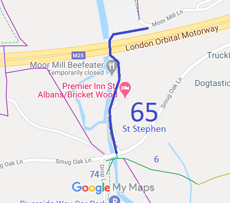
Map showing recorded St Stephen paths
Annotated map reproduced courtesy of Googlemaps.
This route runs from Smug Oak Lane (public road) near the junction with St Stephen 6 bridleway and runs generally northwards, under the M25 motorway before turning east to join the remaining section of Moor Mill Lane (public road).

At the time of the 2023 Access Survey (8 Sep 23), the path was unobstructed save for a stratically placed bollard, and was signposted correctly at each end.
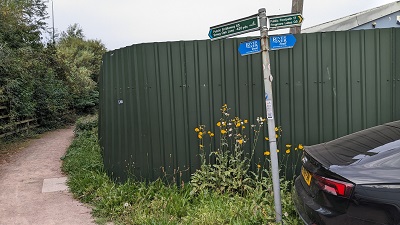
Photograph of St Stephen 65 bridleway
View from Moor Mill Lane
Photo: Michael Rackham, 8 Sep 2023
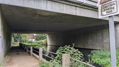
Photograph of St Stephen 65 bridleway
M25 underbridge
Photo: Michael Rackham, 8 Sep 2023
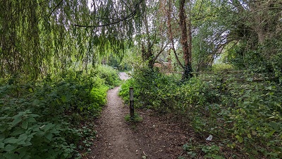
Photograph of St Stephen 65 bridleway
Continuing South
Photo: Michael Rackham, 8 Sep 2023
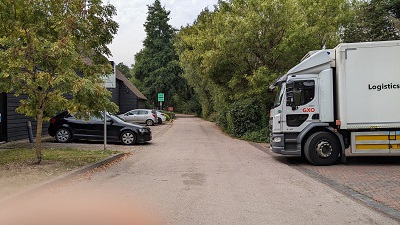
Photograph of St Stephen 65 bridleway
Continuing South
Photo: Michael Rackham, 8 Sep 2023
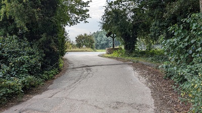
Photograph of St Stephen 65 bridleway
Approaching Smug Oak Lane
Photo: Michael Rackham, 8 Sep 2023
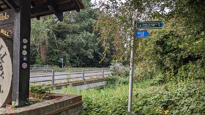
Photograph of St Stephen 65 bridleway
Sign near Smug Oak Lane
Photo: Michael Rackham, 8 Sep 2023

Legal History
1938: The route is shown as an unclassified road on the Hertfordshire County Council ROW survey. Map St Albans Rural 16.
20 Jun 1953: The route was not recorded on the original definitive map and statement. DM sheet DM3-31.
31 Jan 1969: London Gazette notice that Hertfordshire County Council intend on 5 Mar 1969 to ask Magistrates to stop up part of Moor Mill Lane reserving bridleway rights.
31 Dec 1977: St Stephen 65 was shown as a bridleway on the special review draft map and statement. DM sheet SR-77. This followed the construction of the new road.
Definitive Statement (4 Dec 2015)
Path: [St Stephen] 65.  Status: Bridleway.  Definitive Map sheet: 77
Commences from end of county road (Moor Mill Lane) at junction with FP17 and Grid Ref: TL1510 0257, thence generally westwards to Grid Ref: TL1504 0255 and the River Ver, thence southwards under the M25 Motorway alongside the river to Grid Ref: TL1504 0250, thence south-eastwards to Grid Ref: TL1505 0249, thence S past Moor Mill to junction with county road.

© 2023 Patchetts Green Bridleways Trust.

Stats2